






Seeing the Unseen: Crop Health from Space
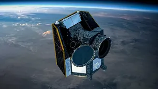
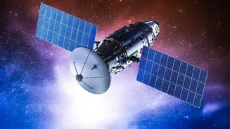
One of the most powerful tools satellite technology offers is the ability to monitor crop health before problems become visible to the naked eye on the ground. Satellites equipped with special sensors capture images that go beyond what we can see. They
measure the reflection of different types of light from the crops, particularly near-infrared light, which healthy, dense vegetation reflects strongly. This data is often processed into a simple indicator called the Normalized Difference Vegetation Index (NDVI). An NDVI map shows a field in different colours, where vibrant green might indicate thriving crops and red or yellow could signal stress. This stress could be due to a lack of water, a nutrient deficiency, or the beginning of a pest or disease outbreak. By spotting these problem areas early, farmers can intervene precisely where needed, applying treatments only to the affected patch instead of the entire field, saving both money and resources.
Smarter Use of Water and Fertilisers
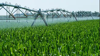
Precision is the key to modern, profitable farming, and satellites are making it possible. Instead of treating an entire field uniformly, technology allows farmers to manage it based on its specific needs, which can vary metre by metre. Satellite data can identify which parts of a field have drier soil and require more irrigation, or which areas are less fertile and need a targeted application of fertiliser. This practice, known as variable-rate application, ensures that precious resources are not wasted. By applying water and nutrients exactly where they are required, farmers can significantly reduce their input costs and minimise the environmental impact of their operations. This targeted approach not only conserves water, a critical issue in many parts of India, but also prevents the over-application of fertilisers, which can damage soil health in the long run.
Predicting Yields and Planning for Markets
Uncertainty about the final harvest size makes financial planning difficult for farmers. Satellite data analysis is changing this by enabling more accurate yield predictions. Throughout the growing season, satellites gather information on crop growth, density, and health across vast areas. By combining this imagery with historical data and advanced computer models, analysts can forecast the expected output of crops like rice, wheat, and soybean with increasing accuracy. This information is invaluable for the farmer, who can make better decisions about when to sell their produce and negotiate for better prices. It also helps on a larger scale, allowing government agencies and agribusinesses to better manage food supply chains, plan for storage, and ensure price stability in the market.
Accessing the Eye in the Sky
This powerful technology is no longer just for large-scale commercial farms. In India, both government initiatives and private agritech companies are working to make satellite-based insights accessible to smallholder farmers. The Indian Space Research Organisation (ISRO) plays a key role, with programs like FASAL (Forecasting Agricultural output using Space, Agrometeorology and Land-based observations) and the recently launched Krishi-Decision Support System (Krishi-DSS). These platforms integrate satellite data to provide advisories on everything from crop conditions to drought monitoring. Furthermore, a growing number of agritech startups are offering user-friendly mobile apps that translate complex satellite data into simple, actionable advice on weather, planting times, and pest alerts, delivering it directly to a farmer's phone.