







An Unblinking Eye on Our Planet
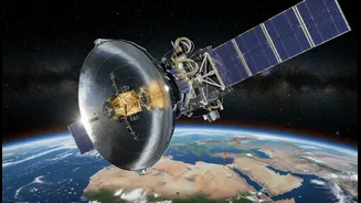
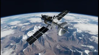
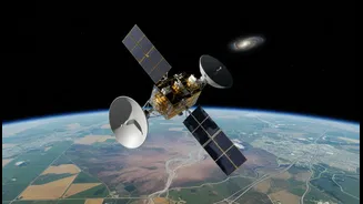
Launched in July 2025, NISAR is a state-of-the-art Earth observation satellite, born from a powerful collaboration between NASA and the Indian Space Research Organisation (ISRO). Unlike telescopes that peer into deep space, NISAR’s job is to look back
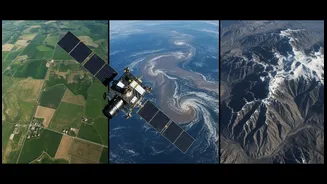
at us. Orbiting the Earth every 100 minutes from an altitude of 747 kilometres, it systematically maps our planet’s land and ice surfaces. Its mission is to track subtle changes over time, some as small as a centimetre, providing an unprecedentedly detailed picture of our dynamic world. This ambitious project, one of the most expensive Earth-imaging satellites ever built, represents a landmark achievement in the partnership between India and the United States in space.
Seeing Through Clouds and Darkness
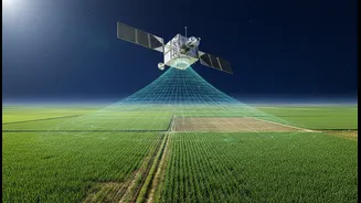
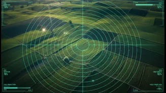
What makes NISAR a game-changer is its technology: Synthetic Aperture Radar, or SAR. Unlike optical satellites that need daylight and clear skies, SAR uses microwaves that can penetrate clouds, rain, and darkness. This gives it the superpower of all-weather, 24/7 observation. NISAR is uniquely equipped with two different radar frequencies, L-band (from NASA) and S-band (from ISRO). The longer L-band waves can penetrate forest canopies to measure things like soil moisture, while the shorter S-band waves are more sensitive to surface details like crop growth. This dual-frequency approach provides a comprehensive dataset that is far more powerful than what a single radar could achieve, offering a unique view of everything from glacial movements to the health of our forests.
A Revolution for Indian Agriculture
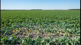
For India, a nation where agriculture is a cornerstone of the economy, NISAR's applications are transformative. The satellite's ability to monitor soil moisture at a high resolution of 100 metres is a significant leap forward. This data, delivered every 12 days, will empower farmers and policymakers with actionable intelligence for irrigation planning, drought preparedness, and improving crop yields. By tracking the entire crop cycle from planting to harvest, NISAR can help in estimating regional yields and ensuring food security. The data, which is openly available, can support more sustainable agricultural practices and better management of precious water resources across India's diverse agro-climatic zones.
A Guardian Against Natural Disasters
Beyond the fields, NISAR serves as a crucial tool for disaster management. Its radar can detect tiny shifts in the Earth’s surface that can be precursors to earthquakes, landslides, and volcanic eruptions. This information is vital for hazard assessment and can help protect communities and critical infrastructure. In the event of a disaster like a flood or an earthquake, NISAR’s all-weather capabilities mean it can provide rapid and reliable data to first responders, mapping the extent of damage even through cloud cover. For a country prone to various natural hazards, from Himalayan landslides to coastal cyclones, this constant monitoring provides a powerful new layer of defence and preparedness.
The Power of Global Collaboration
The NISAR mission is a testament to the power of international collaboration in science. The project brought together the expertise of NASA and ISRO, with NASA providing the L-band radar and ISRO providing the satellite bus, the S-band radar, and the GSLV launch vehicle. This partnership not only shares the immense cost and complexity of such a mission but also fosters a global approach to understanding and tackling global problems. The mission became fully operational in January 2026, and its data has been made freely and openly available to the global scientific community, policymakers, and the public. This commitment to open science ensures that the benefits of NISAR's observations will be felt worldwide, helping humanity navigate the challenges of a changing climate.