





A Groundbreaking Eye in the Sky
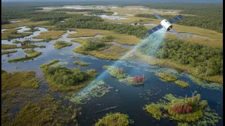
The NISAR (NASA-ISRO Synthetic Aperture Radar) mission is a landmark collaboration between the Indian Space Research Organisation (ISRO) and the U.S. National Aeronautics and Space Administration (NASA). Launched in 2025, this advanced satellite is the first
to use two different radar frequencies, L-band and S-band, to observe changes on Earth's surface with unprecedented detail, capable of detecting movements as small as a centimetre. Unlike optical satellites that are hindered by clouds or darkness, NISAR's radar can peer through these obstacles, providing a consistent and reliable stream of data day or night, in any weather. Public access to this data began in July 2026, opening a new chapter in Earth observation.
Seeing Beneath the Surface
Recently released images from NISAR have offered a stunning glimpse of its capabilities. One image, nicknamed 'the hummingbird' by scientists, shows a rocky mountaintop in East Antarctica called Nunatak Zaterjavshijsja. As the ice flows around this obstruction, it creates immense stress, fracturing the surface into a network of deep cracks called crevasses. While a regular satellite image shows a mostly white expanse, NISAR's radar penetrates the top layers of snow and ice to reveal these hidden structures. The different colours in the radar image represent how signals bounced back; magenta shows smoother ice, while green highlights the rough, fractured faces of the crevasses. This ability to see what's happening beneath the surface gives scientists a powerful new tool to understand the complex mechanics of glacier movement and stability.
Antarctica's Ticking Clock
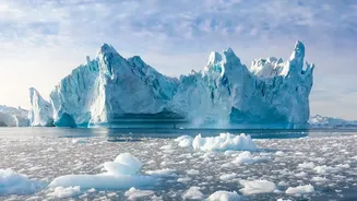
Antarctica's massive ice sheet holds about 70% of the world's fresh water. Its stability is a critical factor in global climate regulation. If it melts, it could raise global sea levels by an estimated 60 metres, a catastrophic scenario for coastal communities worldwide. Scientists are particularly focused on the stability of major glaciers, like the Thwaites Glacier, as they act as plugs holding back vast quantities of ice. Understanding how these glaciers are thinning, accelerating, or fracturing is key to predicting the future rate of sea-level rise. NISAR's repeated observations, imaging the entire planet every 12 days, will create a long-term record of these changes. This data helps refine climate models and provides a clearer picture of the physical processes driving ice loss.
Why It Matters for India
What happens in Antarctica does not stay in Antarctica. For India, with its 7,500-kilometre coastline and hundreds of millions of people living in coastal areas, the threat is direct and significant. Projections already show that major cities like Mumbai, Kolkata, and Chennai are highly vulnerable to flooding from rising sea levels. Interestingly, due to factors like the Earth's rotation and gravity, sea-level rise from Antarctic melt is actually greater in tropical regions than it is closer to the pole itself. The influx of cold freshwater can also disrupt ocean currents that influence global weather, including the vital Indian monsoon, potentially leading to more erratic rainfall and droughts. By providing precise data on ice melt, the NISAR mission gives Indian scientists and policymakers a crucial tool for anticipating these impacts and developing strategies to protect coastal infrastructure and communities.