





An Unusually Dry July
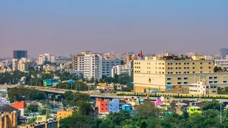
To say July was dry for Bengaluru is an understatement. The city's observatory, run by the India Meteorological Department (IMD), recorded a mere 23 mm of rainfall for the entire month. This makes it the second-driest July in the last 108 years, surpassed
only by the 18.5 mm recorded back in 1918. This is a significant deviation from the norm, as Bengaluru typically receives between 80 mm and 100 mm of rain in July. While healthy pre-monsoon showers kept the city's overall annual rainfall within a normal range for now, the prolonged dry spell during a peak monsoon month has created a precarious situation.
The Danger of Rain After Drought
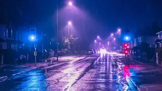
The primary risk after an extended dry period isn't a lack of rain, but its sudden arrival. When the ground becomes hardened and baked by the sun, it loses its ability to absorb water efficiently. This phenomenon, known as soil hydrophobia, means that when a heavy downpour finally occurs, the water doesn't soak into the parched earth. Instead, it runs off the surface as if it were concrete. This dramatically increases the risk of flash floods, as drainage systems become overwhelmed almost instantly. Furthermore, the first rain washes all the accumulated oil, dust, and debris from roads and other surfaces into the runoff, creating a toxic 'first flush' that pollutes waterways. Studies have also shown that the risk of traffic accidents increases significantly on the first day of rain after a long dry spell.
Tools for Real-Time Tracking
Making informed decisions requires accurate, real-time data. Fortunately, Bengaluru residents have access to several tools developed specifically for this purpose. The Karnataka State Natural Disaster Management Centre (KSNDMC), in collaboration with the Indian Institute of Science (IISc), has developed the 'Bengaluru Megha Sandesha' mobile app. This app provides real-time, ward-level information on rainfall, temperature, and potential flooding. It also features a 'safe route' tab to help users navigate around inundated areas. For those who prefer a web-based portal, 'Varunamitra' offers a detailed dashboard with similar zone-wise weather information and flood vulnerability maps. Other apps like RainViewer also provide live hyperlocal radar sourced from the IMD, allowing you to see exactly where rain is falling block by block.
Smarter Decisions for Commuters
For commuters, a sudden downpour can mean hours stuck in traffic on a waterlogged road. A poor decision might be leaving the office at your usual time despite signs of an impending storm. A better decision involves proactive monitoring. By checking an app like Bengaluru Megha Sandesha or the IMD's Nowcast warnings before you travel, you can make a strategic choice. This could mean leaving work 30 minutes early to beat the worst of the rain, choosing a route that avoids known flooding hotspots like underpasses, or deciding to work from home if a heavy spell is predicted. Knowing the specific intensity and location of rainfall, rather than just a general forecast, is the key to avoiding a miserable commute.
Managing Water at Home and in the Community
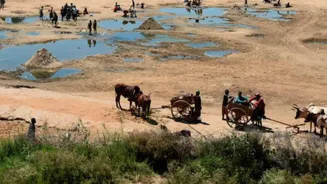
The dry July has already put a strain on water resources, with authorities concerned about reservoir levels. For residents, a poor decision is to become complacent about water conservation. The recent memory of water usage restrictions should serve as a reminder of the city's delicate balance. A smarter decision involves continuing conservation efforts while also being prepared for rain. This includes ensuring rainwater harvesting systems are clean and functional to capture any potential downpour, which can help recharge groundwater and reduce reliance on municipal or tanker water. It also means being aware of your local area's drainage. Reporting clogged drains or seeing how local citizen groups are working to restore 'Raja Kaluves' (ancient stormwater drains) can contribute to community-level flood resilience.