





Beyond Satellites and Supercomputers
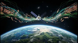
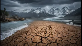
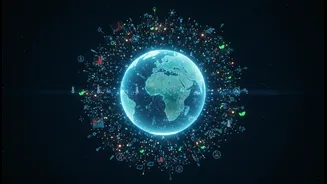
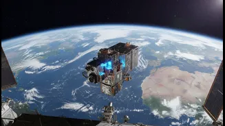
For decades, NASA has been at the forefront of climate science, using a sophisticated array of satellites and instruments to monitor Earth from space. This top-down view has given us invaluable data on global temperature rise, shrinking ice sheets, and changing
weather patterns. However, this high-tech approach has its limits. Satellites can see the big picture, but they often miss the nuanced, local-level changes that are happening in our own backyards. They can track the overall retreat of a glacier but might not capture the day-to-day changes in a local river's flow or the subtle shifts in when native plants begin to flower. This is where the gap between global data and local reality exists, and it's a gap NASA is now trying to fill.
The Power of People-Sourced Data
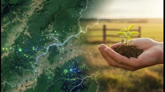
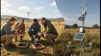
This new approach is broadly known as "citizen science" or "community evidence.” It involves engaging the public—volunteers, students, and local community members—in scientific research. This can be as simple as using a smartphone app to report the presence of mosquito-breeding grounds, documenting changes in local water levels after a storm, or photographing the types of clouds overhead. These individual observations, when collected from thousands of people across vast areas, become an incredibly rich and detailed dataset. This people-powered data provides a granular, on-the-ground perspective that complements the broad-scale view from space, allowing scientists to see how global climate trends are affecting specific ecosystems and communities in real-time.
From Local Observations to Global Models
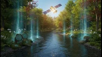
The true innovation lies in how NASA plans to integrate this community evidence with its own high-tech data. Through programs like the Citizen Science for Earth Systems (CSESP) and platforms like GLOBE Observer, NASA is creating channels for this ground-level information to flow directly into its climate models. For example, a volunteer's photo of a flood's high-water mark can be used to validate the accuracy of a satellite's rainfall estimates for that area. Similarly, widespread reports of unusual plant blooming times can help scientists refine models that predict how ecosystems will respond to rising temperatures. By combining these two data sources, climate models become more accurate, predictive, and ultimately, more useful for making decisions on everything from water resource management to disaster preparedness.
What This Means for Climate Action in India
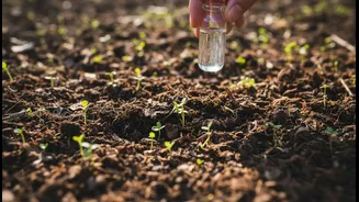
This democratisation of science holds immense potential for a country as large and ecologically diverse as India. Imagine farmers in the Gangetic plains using their phones to contribute data on soil moisture, helping to create more accurate drought forecasts. Consider communities in the Himalayas tracking snowmelt and glacial changes, providing early warnings about flood risks downstream. In bustling cities like Mumbai or Bengaluru, residents could map urban heat islands or track air pollution levels block-by-block. These are not futuristic scenarios; similar initiatives are already underway. The embrace of community evidence by a major agency like NASA validates these local efforts and opens the door for greater collaboration. It provides a framework for integrating the invaluable traditional and local knowledge held by Indian communities with cutting-edge climate science, making climate action more relevant and effective at the grassroots level.