







More Than a Geopolitical Acronym
BRICS, a bloc of major emerging economies, has expanded to include Brazil, Russia, India, China, South Africa, Egypt, Ethiopia, Iran, and the UAE. While often seen through a lens of economic and political summits, one of its most practical initiatives
is taking shape far above our heads. In late June 2026, the heads of the BRICS space agencies met in Bengaluru, hosted by the Indian Space Research Organisation (ISRO). The agenda wasn't just about abstract diplomacy; it was about strengthening a concrete collaboration: the BRICS Remote Sensing Satellite Constellation. This initiative, formally agreed upon in 2021, is now being expanded and solidified, signaling a new chapter in how these nations work together.
What is Remote Sensing?
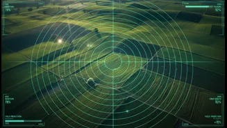
Think of remote sensing as giving humanity powerful eyes in the sky. It is the science of obtaining information about objects or areas from a distance, typically from satellites or aircraft. These satellites are equipped with sensors that can 'see' across different spectrums, collecting data that is invisible to the human eye. This information is then translated into valuable insights about our planet's land, oceans, and atmosphere. This isn't just about taking pictures; it's about measuring everything from soil moisture and crop health to urban expansion and the extent of floodwaters. Its applications are vast, touching almost every aspect of modern life and governance.
A 'Virtual Constellation' of Cooperation
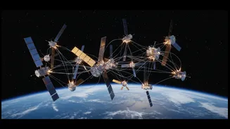
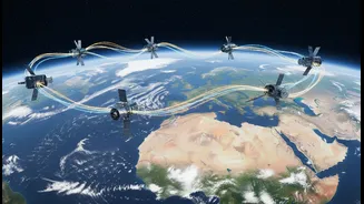
The BRICS Remote Sensing Satellite Constellation isn't about launching a whole new set of satellites. Instead, it’s a smarter, more efficient approach: creating a 'virtual constellation' by sharing data from existing satellites contributed by member nations. This includes satellites like India's Resourcesat-2 and 2A, China’s Gaofen series, and assets from Brazil and Russia. By pooling their resources, the eleven BRICS countries gain access to a much wider and more frequent stream of data than any single country could achieve alone. The recent meeting in Bengaluru focused on the crucial steps of expanding this agreement to include new BRICS members and discussing the formation of a BRICS Space Council to provide a more robust institutional framework for this cooperation.
How This Directly Benefits India
This is where the headline's promise becomes reality. For India, the data from this shared constellation is a game-changer for several national priorities. In agriculture, it can help monitor crop health, predict yields, and manage water resources more effectively. For disaster management, it provides near real-time data to track cyclones, assess flood damage, and coordinate rescue efforts. Urban planners can use the data to monitor city growth and manage infrastructure development. Environmental scientists can track deforestation, monitor pollution, and study the impacts of climate change with greater accuracy. This isn't theoretical; it's about providing Indian authorities and scientists with better tools to make critical decisions that affect millions of lives and livelihoods.
The Bigger Picture: A New Space Economy
The collaboration on remote sensing is part of a larger vision. At the Bengaluru meeting, Indian Union Minister Jitendra Singh proposed the idea of a 'BRICS Space Economy,' urging member nations to move beyond just sharing data to co-developing and co-innovating new technologies. This initiative is also about technological sovereignty. By building their own cooperative framework, BRICS nations are creating an alternative to Western-dominated space infrastructure. It allows member countries, including those under sanctions like Iran, to access high-resolution satellite data, fostering independent development and addressing regional challenges like food security and climate change. This makes the BRICS space program not just a scientific project, but a significant geopolitical development.