




A New Kind of Vision
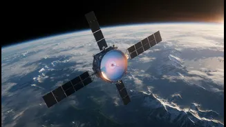
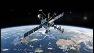
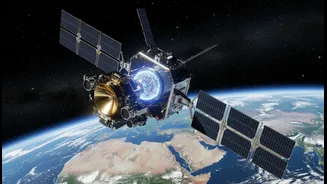
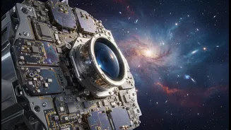
NISAR, which stands for NASA-ISRO Synthetic Aperture Radar, is not your typical satellite. It's a sophisticated Earth-observing mission jointly developed by the Indian Space Research Organisation (ISRO) and the U.S. National Aeronautics and Space Administration
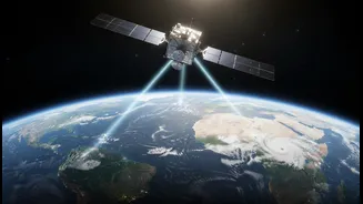
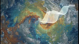
(NASA). Launched in July 2025, its primary purpose is to make global measurements of the causes and consequences of land surface changes. Unlike optical satellites that are limited by clouds and darkness, NISAR uses a powerful technique called Synthetic Aperture Radar (SAR). By bouncing radar signals off the Earth's surface, it can create incredibly high-resolution images day or night, in any weather. What makes NISAR truly unique is that it's the first satellite to use two different radar frequencies—L-band and S-band. This dual-frequency capability allows it to observe a wide range of Earth's processes, from the slow crawl of a glacier to the subtle sinking of land due to groundwater depletion.
An Unprecedented Collaboration
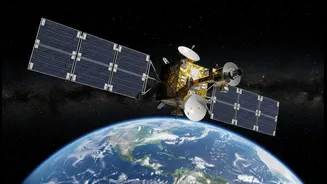
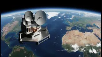
The mission is a testament to the strengthening partnership between India and the United States in space exploration. With a total cost estimated at $1.5 billion, it is one of the world's most expensive Earth-imaging satellites. The collaboration leverages the expertise of both agencies. ISRO provided the satellite bus, the S-band radar instrument, and the powerful GSLV rocket for the launch from the Satish Dhawan Space Centre. NASA, through its Jet Propulsion Laboratory (JPL), contributed the L-band radar, a massive 12-metre-wide mesh antenna reflector, and other critical communication and data systems. This division of labour has created a state-of-the-art observatory that will provide a wealth of data, which will be made freely available to the public and scientific community worldwide.
Mapping India's Vital Signs
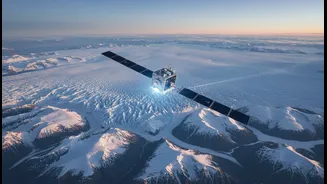
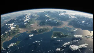
For India, NISAR's capabilities are particularly significant. ISRO has identified several key applications that will directly benefit the nation. The satellite will systematically monitor the health of the Himalayas, tracking the flow of glaciers and the stability of its fragile slopes, providing crucial data for landslide prediction. In the vast agricultural plains, NISAR will assess soil moisture, monitor crop health, and measure biomass, supporting food security initiatives. It can track the subsidence of land in regions experiencing heavy groundwater extraction, offering vital information for water resource management. Furthermore, its observations will help monitor coastal erosion, the health of mangroves, and even provide data on coastal winds. This comprehensive view of the country's land and water resources will be invaluable for policymakers and disaster management agencies.
From Disaster to Recovery
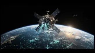
One of NISAR's most powerful applications is its ability to respond to natural hazards. By mapping the planet every 12 days, it creates a consistent baseline of Earth's surface. After an earthquake, volcano, or major flood, scientists can compare the new data with the baseline to precisely map the affected area and assess the damage, even through smoke or cloud cover. This capability is critical for directing emergency response teams effectively. But the mission goes beyond just mapping destruction. By continuing to monitor these areas, NISAR will also track the process of recovery. It can observe how vegetation returns after a forest fire, how landscapes stabilise after a landslide, or how water levels recede after a flood. This long-term monitoring provides unique insights into the resilience of our ecosystems and helps communities plan for a more secure future.
A Global Watchdog for a Changing Planet
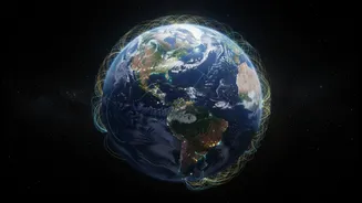
While the applications for India are immense, NISAR is fundamentally a global mission. The data it collects on melting ice sheets in Antarctica and Greenland will improve our understanding of sea-level rise. Its ability to measure carbon storage in forests, wetlands, and permafrost will provide critical inputs for climate change models. Essentially, NISAR will create an unprecedented time-lapse video of our planet, revealing changes with a clarity we've never had before. This detailed and consistent data stream will empower scientists and governments worldwide to better understand the complex dynamics of our planet and make more informed decisions to protect its future.