



A Planet-Sized Data Problem
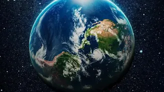
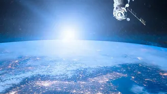
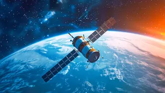
For decades, NASA has been our eye in the sky, using a fleet of advanced satellites to monitor everything from melting ice caps and rising sea levels to the amount of carbon in our atmosphere. These missions generate petabytes of data—an almost unimaginable
volume of information. To put it in perspective, researchers recently copied about 100 petabytes of NASA data, the equivalent of roughly 20 million feature-length films. While this data is crucial for understanding Earth's complex systems, its sheer scale presents a massive challenge. No team of human scientists could ever sift through it all efficiently, meaning valuable insights often remain hidden within the noise.
How AI Makes Sense of the Chaos
This is where artificial intelligence comes in. NASA has partnered with tech giants like IBM to develop what are known as "foundation models." Think of these like the large language models that power chatbots, but instead of being trained on text from the internet, they are trained on vast, unlabeled datasets of scientific observations. One of the most promising results of this collaboration is an open-source AI model named 'Prithvi'—the Sanskrit word for Earth. The model learns the fundamental physics and patterns of our planet by analyzing years of satellite imagery. By training the AI on this historical data, it can identify relationships and make predictions far faster and often more accurately than traditional methods.
From Data Points to Real-World Predictions
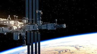
So, what can this combination of satellite data and AI actually do? The applications are revolutionary. The Prithvi model can be fine-tuned for a wide variety of tasks, like tracking deforestation, monitoring the burn scars left by wildfires, and identifying areas at risk of flooding. A more recent version, Prithvi-Weather-Climate, is trained on 40 years of global weather data to improve forecasts. This technology can dramatically increase the resolution of long-term climate projections, a process known as "downscaling." For example, a climate model that once saw a potential flash flood in a 150-square-kilometer block can now be focused down to 12.5-square-kilometer segments, providing far more actionable information for local authorities. The models have even been used to predict locust breeding grounds in Africa and are being tested aboard the International Space Station for real-time analysis in orbit.
Why This Matters for India
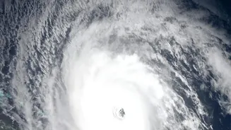
The implications for a nation like India, which is highly vulnerable to extreme weather events, are profound. More accurate and timely forecasting can improve early warnings for cyclones, heatwaves, and floods, potentially saving thousands of lives. In agriculture, AI-powered weather predictions are already helping millions of Indian farmers make better decisions about when and what to plant, especially with the unpredictable nature of the monsoon. Furthermore, this technology can be used to monitor the health of critical ecosystems, from the Himalayan glaciers that feed major rivers to the vast coastline threatened by sea-level rise. By providing a clearer picture of environmental changes, these tools can empower Indian policymakers and communities to build greater resilience against climate risks.
A Tool for the World
Perhaps the most significant aspect of NASA's AI initiative is its commitment to open science. By making powerful models like Prithvi open-source, NASA and its partners are allowing researchers, scientists, and even citizen scientists from around the globe to use and build upon this technology. This collaborative approach accelerates innovation and ensures that the benefits are not confined to a single institution or country. As climate change is a global problem, the solutions must also be global. Sharing these advanced tools allows the entire scientific community to work together more effectively, drawing insights from the vast archives of data NASA has collected for the benefit of all humanity.