




An Eye in the Sky for Every Field
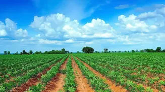
For centuries, farming has been a hands-on, ground-level profession. Farmers walked their fields to check for problems, relying on experience and intuition. But on large-scale farms, it's impossible to be everywhere at once. Issues like pest infestations,
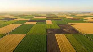
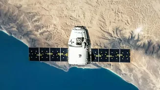
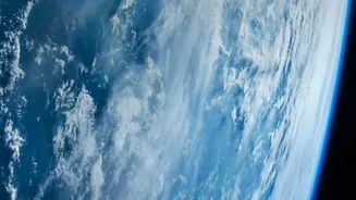
nutrient deficiencies, or water stress can go unnoticed until they cause significant damage. This is where remote sensing comes in. Satellites equipped with powerful sensors can now provide a 'bird's-eye view' of farmland, monitoring vast areas efficiently and consistently. This technology transforms farm management from a reactive process to a proactive, data-driven strategy.
Seeing Beyond the Naked Eye
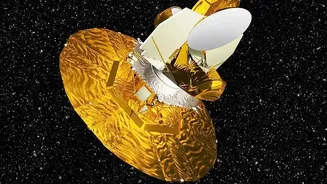
Satellites don't just take regular pictures. They use multispectral and hyperspectral imagers to capture light across various wavelengths, including those invisible to the human eye, like near-infrared (NIR). Healthy, vibrant plants are rich in chlorophyll, which strongly absorbs red light but reflects NIR light. Stressed or unhealthy plants do the opposite. By comparing the reflection of red and NIR light, scientists calculate what is known as the Normalized Difference Vegetation Index (NDVI). This index acts as a crucial indicator of plant health, allowing farmers to spot trouble in a field long before visible signs like yellowing leaves appear. This early warning system is a game-changer, enabling timely interventions to save crops.
A Perfect Storm of Innovation
So why is this shift happening now? It's a convergence of factors. Firstly, the cost of launching and operating satellites has decreased significantly, making the data they produce more accessible. Secondly, the technology itself has become more powerful, with satellites providing higher-resolution images more frequently. Some constellations can now image the entire Earth daily. Finally, the urgent need for 'precision agriculture' is driving adoption. Facing climate change and the need to produce more food sustainably, farmers require tools that help them use resources like water and fertilizer more efficiently. Satellites provide the precise data needed to apply inputs only where they are needed, reducing waste and environmental impact.
From Pixels to Produce in India
In India, where agriculture is a cornerstone of the economy, space technology is already making a significant impact. The Indian Space Research Organisation (ISRO) has been a pioneer in this field, developing satellite-based systems to support farmers. Programs like Krishi-DSS provide farmers with crucial data on everything from crop conditions and soil moisture to weather forecasts. By integrating data from its fleet of satellites, including the Resourcesat and RISAT series, ISRO provides actionable intelligence that helps in yield forecasting, drought monitoring, and disaster management. This empowers farmers to make better decisions, increase yields, and build resilience against climate-related risks.
The Future of Farming is Data-Driven
The move to space-based monitoring represents a fundamental shift in how we approach agriculture. It allows for the management of farmland at a micro-level, even across thousands of hectares. Farmers can now create detailed maps of their fields that show soil variability, water stress, and crop health with remarkable accuracy. This enables them to manage different zones within a single field according to their specific needs. This level of precision leads to higher yields, lower costs, and more sustainable practices. As the technology continues to evolve and becomes even more integrated with on-the-ground tools like drones and IoT sensors, the farm of the future will be a highly efficient, data-rich ecosystem.