

A New Eye In The Sky
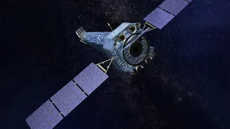
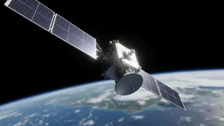
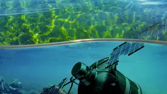
NISAR, which stands for NASA-ISRO Synthetic Aperture Radar, is a groundbreaking Earth observation mission jointly developed by the US and Indian space agencies. Launched in mid-2025, it is one of the most advanced and expensive Earth-imaging satellites
ever built, designed to monitor our planet's complex processes with remarkable precision. Unlike typical satellites that use optical cameras, NISAR employs a sophisticated radar system. This allows it to see through clouds, day and night, providing an uninterrupted stream of information about Earth's surfaces. The satellite orbits the Earth every 12 days, scanning nearly all land and ice to detect changes as small as a centimetre.
The Power of Two Radars
What makes NISAR truly unique is that it is the first satellite mission to use two different radar frequencies together: the L-band (from NASA) and the S-band (from ISRO). Think of it like having two different types of X-ray vision. The shorter S-band waves are excellent for observing things like crop canopies and vegetation structure. The longer L-band waves are the deep divers; they can penetrate dense forest cover and even the ground itself to reveal what lies beneath. This dual-frequency capability is a game-changer for environmental monitoring. It allows scientists to build a more complete, three-dimensional picture of ecosystems, from the top of the tree canopy down to the soil moisture hidden below.
Uncovering Wetland Secrets
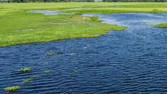
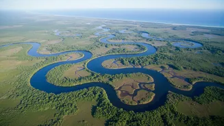
Wetlands are among the most important ecosystems on Earth, acting as biodiversity hotspots and massive carbon sinks. However, they are often difficult to monitor. This is where NISAR's new data, with its daily release of provisional products since July 2026, is providing fresh clues. The satellite's L-band radar can pierce through the dense vegetation that often covers wetlands, detecting the waterlogged soil and flooding underneath. When the radar signals bounce between tree trunks and the water below, it creates a powerful reflection known as “double-bounce scattering,” making wetland forests appear brightly in the images. This allows researchers to accurately map the extent of wetlands and track how they change with the seasons or in response to climate change and human activity, something that has been difficult with previous technologies. Recent studies using NISAR data over areas like the Jhilmil Jheel wetland in Uttarakhand have already demonstrated this capability, clearly distinguishing waterlogged forests from the surrounding landscape.
Why This Matters For India
The collaboration on NISAR is a landmark achievement for ISRO and a point of pride for India's space program. ISRO provided the S-band radar and the launch vehicle, playing a critical role in the mission's success. The data from the satellite, which ISRO began releasing to the public via its Bhoonidhi portal in July 2026, holds immense value for the country. India's diverse and crucial wetland ecosystems, from the Sundarbans mangroves to the network of inland lakes, can now be monitored with unprecedented accuracy. This will provide vital information for managing water resources, improving agricultural practices, monitoring coastal changes, and enhancing disaster response efforts for events like floods and landslides. By tracking changes in these fragile environments, the NISAR data can empower policymakers and communities to make more informed decisions for sustainable development and conservation.