



India’s Eyes in the Sky
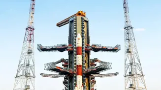
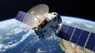
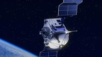
The Indian Space Research Organisation (ISRO) operates a sophisticated fleet of Earth Observation satellites that form the backbone of the country's disaster management programme. This network includes various series of satellites, such as the INSAT (Indian
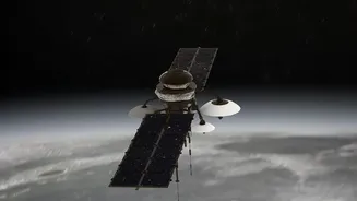
National Satellite System), Resourcesat, and RISAT (Radar Imaging Satellite) series. These are not just single-purpose satellites; they are equipped with a range of sensors. Optical sensors capture images much like a regular camera, while radar sensors have the powerful ability to see through clouds and darkness, making them invaluable for monitoring events like cyclones and floods, which are often accompanied by heavy cloud cover. This constant, all-weather surveillance allows authorities to get a synoptic view of the situation across vast areas.
From Raw Data to Actionable Intelligence
A satellite image by itself is just a collection of pixels. The magic happens when this raw data is processed and interpreted. This crucial task is handled by centres like the National Remote Sensing Centre (NRSC) in Hyderabad. The NRSC acquires, processes, and disseminates satellite data, transforming it into usable information. This intelligence is then channelled through platforms like Bhuvan, ISRO's geo-portal, and the National Database for Emergency Management (NDEM). These platforms make the information accessible to various government bodies, from the National Disaster Management Authority (NDMA) to state-level agencies, presenting it as easy-to-understand maps showing flood inundation, landslide risk zones, or cyclone paths. This ensures that decision-makers on the ground have the clear, near real-time information they need to act decisively.
Before, During, and After the Storm
Satellite technology is crucial in all three phases of disaster management. In the pre-disaster phase, it is used for prevention and preparedness. Satellite data helps in creating detailed vulnerability maps, such as the Flood Hazard Zonation Atlas for Assam, which identifies high-risk areas. This allows for better long-term planning and mitigation efforts. During a disaster, satellites provide near real-time tracking of events. For cyclones, meteorological satellites like INSAT-3DR and 3DS help the India Meteorological Department (IMD) to monitor the storm's intensity and predict its track and landfall, which is vital for issuing timely warnings and planning evacuations. In the post-disaster phase, satellites are used for rapid damage assessment, mapping the extent of devastation to crops, infrastructure, and homes, which guides relief, rescue, and reconstruction efforts.
Real-World Impact and Future Frontiers
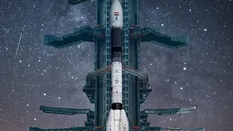
The effectiveness of this system has been proven time and again. During the severe floods in Kerala in 2018 and the cyclones that have hit Odisha and West Bengal, data from Indian and international satellites was used to generate flood inundation maps and assess damage, directly aiding relief operations. Looking ahead, India is continuously upgrading its capabilities. The recently launched INSAT-3DS satellite enhances weather forecasting and cyclone tracking. Furthermore, the upcoming NASA-ISRO Synthetic Aperture Radar (NISAR) mission promises to be a game-changer. With its ability to detect ground changes as small as a centimetre, NISAR will provide unprecedented data for monitoring seismic fault lines, glacier melt, and landslide-prone areas, significantly boosting India's early warning systems.