




Go Beyond the Basic Forecast
A simple rain icon on a weather app doesn't tell the whole story. For a monsoon trip, you need to understand the potential intensity and duration of the rainfall. A light drizzle is a minor inconvenience, but a forecast of 'heavy' or 'extremely heavy' rain over
several hours is a major safety concern that could lead to waterlogging, traffic disruptions, and more severe hazards. Instead of just asking 'Will it rain?', start asking 'How much will it rain, for how long, and what is the associated risk?'. This shift in mindset is the first step towards responsible monsoon travel planning. Many modern weather apps provide precipitation intensity forecasts, which can help you distinguish between a pleasant shower and a dangerous downpour.
Decode Official IMD Weather Warnings
The India Meteorological Department (IMD) is the official source for weather warnings in the country. It uses a simple colour-coded system to communicate the severity of expected weather, which is crucial for travellers. Green (No Warning): Conditions are normal, and no advisory is needed. Your travel plans can proceed. Yellow (Be Aware): This indicates the possibility of deteriorating weather that could disrupt daily activities. It's a sign to stay updated and be cautious. Orange (Be Prepared): An Orange alert signals a high likelihood of severe weather that could disrupt transport and pose a threat. You should be prepared to alter your travel plans, as road, rail, or air travel may be affected. Red (Take Action): This is the highest level of alert, indicating extremely severe weather conditions are expected. A Red alert warns of a significant threat to life and property, with a high chance of widespread disruption to travel and power supply. Travel to or through these areas should be avoided.
Use the Right Digital Tools
While the IMD provides official warnings, a combination of apps can give you a more detailed, real-time picture. For official alerts, the government's MAUSAM and DAMINI apps are highly recommended; DAMINI specifically provides lightning warnings. For granular forecasts, apps like AccuWeather and The Weather Channel are popular choices in India. AccuWeather's 'MinuteCast' feature, for example, offers a minute-by-minute precipitation forecast for the next two hours, helping you time your outings. Skymet Weather is another reliable 'made in India' app that provides robust data from a large network of weather stations. Look for apps with weather radar maps, which show the live movement and intensity of rain clouds, allowing you to see if a storm is approaching or moving away.
Understand the Regional Risks
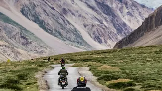
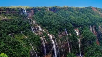
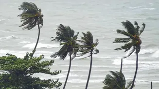
Monsoon risk isn't uniform across India. The type of threat changes with the geography. In hilly regions like Himachal Pradesh, Uttarakhand, and parts of the Northeast, the primary danger comes from landslides and flash floods, which can block roads for days. Coastal areas in Goa, Kerala, or Odisha face different challenges, including high waves, coastal erosion, and the risk of cyclones. In the plains, widespread and persistent rain can lead to major river flooding and severe waterlogging in cities. When you check the weather, consider the specific risks of the region you are visiting. A heavy rain warning in a mountainous area carries a different type of threat than the same warning for a coastal city.
Gather On-the-Ground Intelligence
Technology is a fantastic tool, but it should be supplemented with local, human intelligence. Before you set off for the day, especially on a road trip, talk to your hotel staff, a local guide, or transport operators. They often have the most current information about road conditions, blockages, or rising water levels that might not yet be reflected in an app. Following the social media accounts of local police and disaster management authorities can also provide real-time updates on route closures or other emergencies. This combination of official forecasts, app data, and local knowledge gives you the most comprehensive and safest approach to navigating your trip.