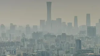






In early November, reports showed Bikaner and Bathinda with shockingly high Air Quality Index (AQI) numbers, even surpassing Delhi. Yet, your phone app might have told a different story. This confusion is common. Here’s why it happens.
The Key Players: Official vs. Private Trackers
When you check the
air quality, you're typically looking at data from one of two types of sources. The first is India's official network, managed by the Central Pollution Control Board (CPCB) and other government bodies like SAFAR. These agencies use a limited number of highly accurate, ground-based monitoring stations that are regularly calibrated and serve as the legal standard for air quality reporting in the country. The second source is a wide array of private and international platforms, such as IQAir or AccuWeather. These are often aggregators, pulling data from government monitors but also from other sources, including their own networks of lower-cost sensors and even satellite data. This fundamental difference in data sourcing is the primary reason for most discrepancies.
Ground Truth vs. Satellite Estimates
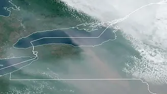
CPCB stations provide 'ground truth'—a direct measurement of pollutants in the air at a specific location. These reference-grade monitors are considered the gold standard for accuracy but are expensive and sparsely distributed. Satellites, on the other hand, don't measure PM2.5 directly. Instead, they measure Aerosol Optical Depth (AOD), which is the extent to which aerosols (like dust and smoke particles) in a column of air block sunlight. Scientists use complex models to convert AOD into an estimated ground-level PM2.5 concentration. While this provides excellent coverage over wide areas, it is an estimate, not a direct measurement. Factors like cloud cover, humidity, and the height of the pollution in the atmosphere can affect the accuracy of these satellite-derived readings.
Not All Sensors Are Created Equal
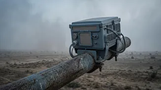
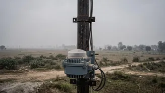
Many private networks supplement official data with readings from a large number of low-cost sensors. These devices make it possible to get hyper-local readings, showing how pollution might vary from one neighbourhood to another. However, their reliability can be a concern. Unlike the CPCB's expensive Beta Attenuation Monitors (BAMs) which are meticulously maintained, low-cost sensors can be less accurate and their performance can drift over time, affected by weather conditions. An uncalibrated or poorly placed sensor—for example, one right next to a busy road or a kitchen exhaust vent—can report drastically higher numbers that may not be representative of the broader area.
The 'Index' in AQI: A Matter of Calculation
Even with the exact same pollutant concentration, the final AQI number can vary. This is because different countries use different formulas and 'breakpoints' to convert raw pollutant data (measured in µg/m³) into the 0–500 AQI scale. Many international apps, like IQAir, default to the US Environmental Protection Agency (EPA) AQI scale. India's National AQI has different thresholds for what it considers 'Good', 'Moderate', or 'Severe'. For example, a PM2.5 level of 55 µg/m³ is rated 'Satisfactory' on India's scale but 'Unhealthy for Sensitive Groups' on the US scale. Furthermore, the Indian CPCB system caps its public reporting at an AQI of 500, whereas some international platforms will display numbers that go much higher, leading to alarming figures over 1,000, as was reported for Bikaner.
So, Which Reading Should You Trust?
For the most reliable and standardised data, the CPCB's official readings are the benchmark. However, that doesn't mean other trackers are useless. Private apps can be excellent for understanding hyper-local conditions and real-time trends, especially if you understand their data sources. Experts suggest focusing less on the specific AQI number and more on the raw concentration of PM2.5 (if available) and the general category ('Poor', 'Very Poor', 'Severe'). Whether the AQI is 450 or 650, the health advice is the same: the air is hazardous, and you should take precautions like limiting outdoor exposure, especially for vulnerable individuals.