







Meet NISAR: Earth’s New Watchguard
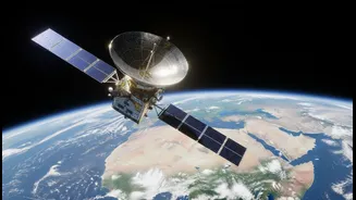
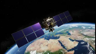
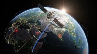
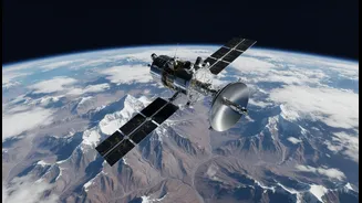
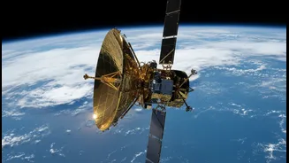
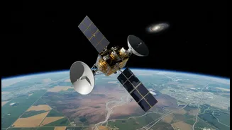
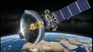
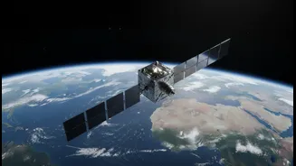
NISAR, which stands for NASA-ISRO Synthetic Aperture Radar, is a state-of-the-art Earth observation satellite. Launched in July 2025, it is the result of a landmark collaboration between the US and Indian space agencies. Unlike a typical camera that needs
light, NISAR uses advanced radar technology to map our planet. This allows it to see through clouds, darkness, and even dense forests, providing a consistent and reliable stream of data day or night, in any weather. The mission’s primary goal is to systematically map Earth, scanning nearly the entire globe every 12 days. This repeated scanning allows scientists to spot tiny changes over time, revealing a dynamic planet in ways never seen before.
The Technology That Sees the Unseen
The magic behind NISAR lies in its dual-frequency radar system, a first for any satellite mission. It carries two distinct radar instruments: an L-band radar provided by NASA and an S-band radar from ISRO. These radars send microwave pulses to the Earth's surface and read the signals that bounce back. The L-band is particularly effective at penetrating through vegetation to see the ground beneath, while the S-band excels at monitoring things like soil moisture and agricultural patterns. By comparing images from consecutive passes over the same location—a technique called interferometry—NISAR can detect changes in the ground's height with astonishing precision, down to a single centimetre. It’s like having a planetary-scale system for spotting 'spot the difference' pictures, where the differences reveal crucial information about geological hazards and environmental shifts.
Why It Matters for India
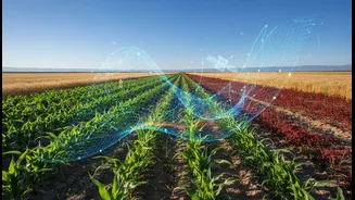
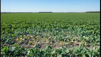
For India, NISAR is more than just a scientific marvel; it's a critical tool for national well-being and security. ISRO has identified several key applications of particular relevance to the nation. A major focus is the Himalayan region, which is prone to earthquakes and landslides. NISAR’s ability to detect minute ground deformations can provide early warnings for unstable slopes and help better understand seismic risks. The satellite will also monitor the health of Himalayan glaciers, which are vital sources of water for millions. Furthermore, NISAR will track land subsidence—the gradual sinking of land—in urban areas and agricultural regions, often caused by the over-extraction of groundwater. This data is invaluable for sustainable water management and urban planning. The mission will also provide vital insights for agriculture by monitoring crop health and soil moisture across the country.
A Global Tool for a Changing Planet
While its applications for India are profound, NISAR's scope is global. The freely available data will empower scientists and governments worldwide. It will provide crucial information for disaster management teams responding to earthquakes, volcanic eruptions, and floods. By measuring changes in ice sheets in Antarctica and Greenland, the mission will offer clearer insights into sea-level rise, one of the most pressing consequences of climate change. Additionally, NISAR will track deforestation, monitor the health of vital ecosystems like wetlands, and help detect oil spills at sea. The mission is set to produce an enormous amount of data—all of which will be open and accessible—spurring a new era of Earth science and enabling more informed decisions to protect our planet and its inhabitants.