



A Catastrophe in the Himalayas
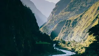
On August 26, 2026, a devastating flash flood tore through the Bhote Koshi and Trishuli river valleys in central Nepal. Scientists believe the disaster was triggered by a massive ice-and-rock avalanche from a glacier near the Nepal-Tibet border. The resulting
surge of water, mud, and debris descended with incredible force, reaching up to 80 metres above the normal river level in some areas and causing immense destruction along a 72-kilometre stretch. The event resulted in a tragic loss of life, with hundreds confirmed dead and many more, including foreign nationals, reported missing. The government has declared the affected areas as disaster crisis zones.
Which Regions Were Directly Affected?
The flash flood's impact was concentrated along a specific corridor. The districts of Rasuwa, Nuwakot, and Dhading bore the brunt of the disaster. Key settlements like Timure and Syabrubesi, which serve as gateways for trade and tourism with Tibet, were severely damaged. The strategic Gyirong Port border crossing was completely destroyed. Extensive damage was done to critical infrastructure, with officials confirming dozens of bridges and nearly 40-42 kilometres of roads were swept away, including the vital road connecting to the Rasuwagadhi border. A section of the Prithvi Highway was also temporarily blocked. This has severely disrupted access to the northern parts of Rasuwa district.
Impact on Popular Trekking Routes
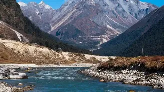
For the thousands of tourists planning autumn treks, the key question is which routes are safe. The good news is that most of Nepal's popular trekking regions were completely untouched by the floods and remain fully operational. The Everest, Annapurna, Manaslu, Kanchenjunga, and Makalu regions are all reported as 100% safe, with flights to hubs like Lukla, Pokhara, and Jomsom running normally. The only region directly impacted is the Langtang Valley. The main trekking trail in Langtang itself was not in the flood's path, but the access road to the starting point at Syabrubesi was destroyed. Tour operators are already establishing alternative routes, often starting from Dhunche, to allow treks in the Langtang region to proceed with some adjustments.
Is It Safe to Travel to Nepal Now?
According to the Nepal Tourism Board and local tour operators, Nepal remains open and welcoming to tourists. The disaster, while severe, was geographically localized. Major tourist hubs like Kathmandu and Pokhara were not affected, and international and domestic flights continue to operate as usual. However, authorities have urged caution as the monsoon season is not entirely over, and weather conditions can change rapidly. The government has issued warnings for communities along the Bhotekoshi and Trishuli riverbanks in several districts due to the continued risk of high water levels. Therefore, the answer is yes, it is generally safe, provided your itinerary avoids the heavily impacted zones in Rasuwa and Nuwakot, or you have confirmed alternate arrangements with a local guide.
Essential Steps for Travelers
If you have an upcoming trip to Nepal, proactive planning is essential. First and foremost, contact your trekking agency or tour operator. They will have the most up-to-date information on ground conditions and can advise on any necessary itinerary changes. If your trek was planned for the Langtang region, discuss the viability of alternative access routes. Regardless of your destination, ensure you have comprehensive travel insurance that covers trip cancellations, interruptions, and medical emergencies. Monitor updates from official sources like the Nepal Tourism Board. Finally, build flexibility into your schedule. The late monsoon period can always bring travel disruptions like landslides and road closures, even in unaffected areas. Being prepared for potential delays is a wise precaution for any travel in Nepal at this time of year.