



A Land Built for Disaster
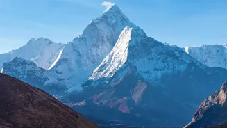
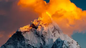
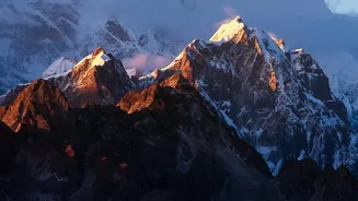
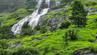
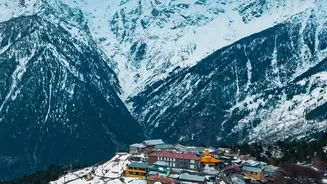
Nepal's breathtaking mountain scenery is also its greatest vulnerability. Geologically, the Himalayas are the youngest mountain range in the world, meaning they are still rising and are tectonically active. This constant geological stress makes the slopes
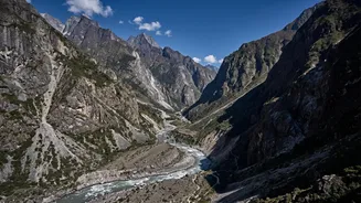
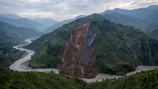
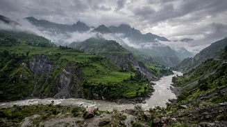
inherently unstable. The country sits where the Indian tectonic plate pushes under the Eurasian plate, a process that builds immense pressure released periodically as earthquakes, which can trigger massive landslides. Much of the terrain is composed of steep slopes with soft, fragile soil and weathered rock that is easily washed away. This combination of steep inclines, active geology, and weak ground material creates a permanent state of high alert, where the land is perpetually on the edge of collapse.
The Monsoon's Violent Trigger
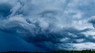
If the geography sets the stage, the annual monsoon is the primary trigger for disaster. From June to September, Nepal receives about 80% of its total annual rainfall. This isn't a gentle, steady rain but often comes in intense, concentrated downpours. This deluge of water saturates the already fragile soil on the steep hillsides, drastically increasing its weight and reducing its strength. When the soil can no longer hold, it gives way in the form of a landslide, often suddenly and without warning. These rainfall-triggered landslides account for more than 90% of the deadly events in the country, turning the life-giving monsoon into a season of fear.
The Human Fingerprint on the Landscape
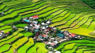
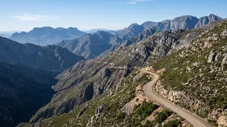
Natural factors alone don't explain the rising death tolls. Human activity has significantly worsened the risk. A primary culprit is the rapid and often haphazard construction of rural roads. Thousands of kilometres of roads have been carved into hillsides, frequently without proper engineering, drainage, or slope protection. These poorly constructed roads cut into the natural stability of the slopes, acting as weak points where landslides are more likely to begin. Studies have shown that rainfall-triggered landslides are more than twice as likely to occur within 100 metres of a road. Combined with deforestation for agriculture and expanding settlements in high-risk zones, these actions have left communities more exposed than ever before.
A New Threat From Melting Glaciers
Climate change is adding a terrifying new dimension to Nepal's flood risk: Glacial Lake Outburst Floods (GLOFs). As global temperatures rise, glaciers in the Himalayas are melting at an accelerated rate, forming vast lakes of meltwater dammed by unstable walls of rock and ice. These natural dams can breach suddenly, releasing enormous volumes of water and debris downstream in a catastrophic flash flood that travels with incredible speed and force. These events can destroy entire villages, bridges, and critical infrastructure miles downstream. With dozens of potentially dangerous glacial lakes identified in Nepal, GLOFs represent a growing and unpredictable threat to downstream communities.
A Cascade of Catastrophe
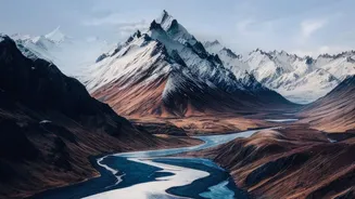
The reason these events turn deadly so quickly is often due to a cascading effect. A landslide doesn't just destroy what's in its path; it can also block a river, creating a temporary dam. Water builds up behind this blockage until the dam inevitably bursts, causing a flash flood far more destructive than the initial rainfall would have. The floodwaters become a thick, fast-moving slurry of mud, boulders, and debris—sometimes described as flowing like liquid concrete—that is impossible to outrun. In remote, mountainous terrain with limited early warning systems and difficult access for rescuers, communities are often left with no time to escape the sudden onslaught.