


A Second Chance for a Critical Mission
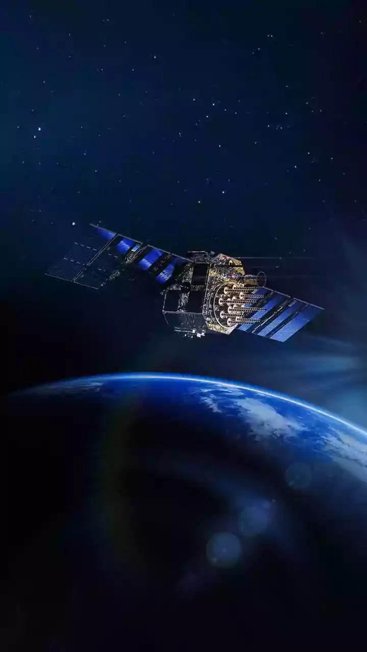
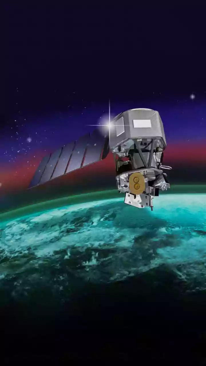
EOS-05, also known as GISAT-1A, is one of the most anticipated missions from the Indian Space Research Organisation (ISRO). It is, in essence, a second chance. The satellite is a replacement for GISAT-1 (also called EOS-03), which was tragically lost
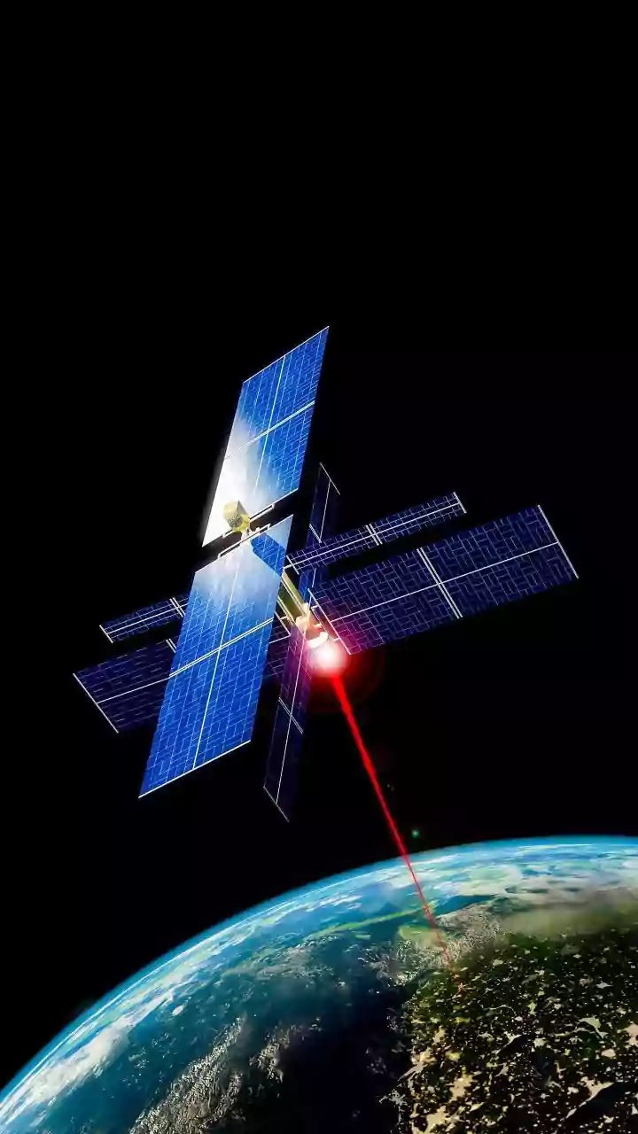
during a launch failure in August 2021 when its GSLV rocket malfunctioned. That setback delayed a crucial national capability. Now, with a launch planned for early September 2026 aboard a GSLV-F17 rocket, EOS-05 is set to finally fulfill the original mission's goal: to provide India with its first-ever geostationary Earth imaging satellite. This isn't just another satellite; it’s a strategic asset designed to offer near-continuous monitoring of the Indian subcontinent.
The Geostationary Advantage
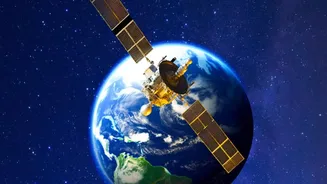
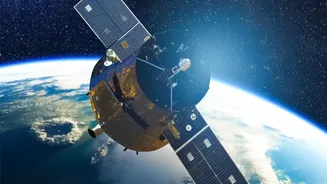
So, what makes this satellite so special? The answer lies in its orbit. Most Earth observation satellites, like those in the Cartosat or Resourcesat series, operate in a Low-Earth Orbit (LEO), circling the planet from pole to pole. They capture high-resolution images but can only view a specific location for a few minutes each day as they pass overhead. EOS-05 is different. It will be placed in a geostationary orbit, approximately 36,000 kilometres above the equator. At this altitude, the satellite's orbital period matches the Earth's rotation. From our perspective on the ground, it will appear to hover in a fixed position in the sky, allowing it to maintain a constant vigil over a vast area encompassing the entire Indian landmass and surrounding oceans. This 'persistent watch' is a game-changer for monitoring events that evolve rapidly.
Taming Cyclones and Tracking Monsoons
One of the primary applications of EOS-05 will be in meteorology. For a country with a long coastline and dependency on monsoons, the ability to monitor weather patterns in real-time is invaluable. The satellite is equipped with multi-spectral and hyperspectral imagers, allowing it to capture images across different wavelengths of light. This technology will enable it to image the entire country every 30 minutes and scan a select area of interest as frequently as every five minutes. During cyclone season, this capability is critical. Forecasters can track the formation, intensification, and movement of storms with unprecedented frequency, leading to more accurate predictions of landfall and storm surge. This gives authorities precious extra time for evacuations and preparedness, directly helping to save lives.
A First Responder's Eye in the Sky
Beyond weather forecasting, EOS-05 is designed to be a crucial tool for disaster management. Its high-revisit capability means it can provide near-instantaneous snapshots of a developing crisis. For example, it can detect the heat signatures of forest fires, even in remote regions, allowing response teams to be mobilised before the blaze spreads out of control. In the event of floods, the satellite can rapidly map the extent of inundated areas, helping rescuers identify the worst-hit villages and plan relief efforts more effectively. Similarly, it can aid in assessing damage after earthquakes or monitoring glacial lakes for potential outbursts. This rapid damage assessment and situational awareness can make a significant difference in the critical hours following a disaster.
A Strategic Asset for the Nation
While its civilian applications are profound, the strategic importance of a satellite like EOS-05 cannot be overlooked. The ability to maintain persistent surveillance over the Indian Ocean Region is a significant capability enhancement. The satellite will provide near real-time imagery of large areas of interest, which is useful for monitoring borders and maritime activities. Some reports have indicated that EOS-05 (also referred to as GISAT-2 in some contexts) is being acquired for the Indian Navy to bolster its operational capabilities in the region. This dual-use nature—serving both civilian disaster management and strategic security needs—makes EOS-05 a vital piece of national infrastructure, enhancing India's self-reliance in space-based observation.