
A Landmark Mission in the Sky
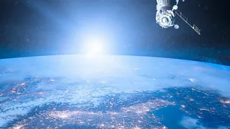
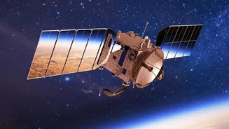
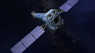
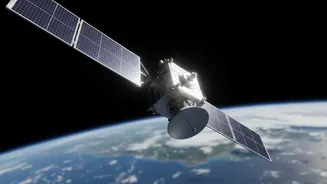
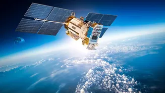
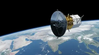
The NASA-ISRO Synthetic Aperture Radar, or NISAR, is one of the most advanced Earth observation satellites ever built. A monumental collaboration between the Indian Space Research Organisation (ISRO) and the US's National Aeronautics and Space Administration
(NASA), this satellite is designed to monitor our planet in unprecedented detail. Unlike regular cameras that rely on light, NISAR uses radar. Specifically, it uses two different radar frequencies, L-band and S-band, which allows it to 'see' through clouds, darkness, and even dense forest canopies. This means it can gather data day and night, in any weather, making it a uniquely powerful tool. The satellite orbits Earth every 12 days, systematically scanning the entire globe to track changes with astonishing precision. Its goal is to measure movements on Earth's surface—even those as small as a centimetre—to help us understand everything from earthquakes and landslides to the melting of glaciers.
Unlocking a Treasure Trove of Data
The most exciting development is that the vast amounts of data collected by NISAR are now being made publicly and freely available. ISRO has started releasing the S-band radar data through its Bhoonidhi online portal, while NASA is distributing the L-band data. This release marks a shift from a world where such high-quality satellite data was either prohibitively expensive or exclusively available to government agencies and large research institutions. Now, anyone with an internet connection and a desire to learn can access it. The data comes in various forms, from raw radar signals to user-friendly, processed maps that show changes on the ground. This 'democratisation' of data is a deliberate part of the mission's design, intended to spur innovation and scientific discovery on a global scale.
From Theory to Real-World Application
For students in India, this development is a game-changer. It bridges the gap between textbook knowledge and practical, hands-on research. For years, students of geography, geology, environmental science, and agriculture have studied concepts like tectonic plate movement, soil moisture, and deforestation using static models or old case studies. Now, they can work with live, dynamic data from a cutting-edge satellite. This allows them to see environmental processes unfolding in near-real-time. They can move beyond theory and apply their skills to analyse real-world problems affecting their own communities. ISRO is actively encouraging this through initiatives like the NISAR Utilization Programme (NISAR UP), which invites Indian researchers and students to submit project proposals using the satellite's data.
Ideas for Your Next Science Project
The applications for student projects are virtually limitless. A student in Uttarakhand could use NISAR data to monitor land subsidence in their local town or track the retreat of Himalayan glaciers. Someone in the Sundarbans delta could analyse the health of mangrove forests and map coastal erosion. Students in agricultural universities could use the data to monitor crop health, estimate soil moisture across different states, or assess the impact of a drought. In urban areas, the data can be used to study the effects of construction, monitor the stability of infrastructure, or map the growth of cities. Even disaster management becomes a tangible subject, as students can download data to map the extent of a flood, like those along the Brahmaputra, or analyse the ground deformation after an earthquake.
Getting Your Hands on the Data
Accessing the data does require a few steps, but it's well within reach for motivated students and educators. The S-band data, which is particularly relevant for applications in India, is available on ISRO's Bhoonidhi portal (bhoonidhi.nrsc.gov.in). Users need to register for a free account. Similarly, NASA's data is available through its Earthdata portal. While the data itself is free, it arrives in specialised file formats that require software like QGIS (a free and open-source geographic information system) to view and analyse. This is part of the learning curve. Learning to process and interpret this data is a valuable skill in itself, preparing students for careers in the growing fields of geospatial analysis, data science, and environmental management. ISRO has even provided tools on its portal to help convert and analyse the data, lowering the barrier to entry for new users.