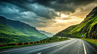


Why Mountain Weather Is a Different Beast
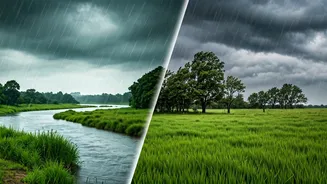
The weather forecast that works for your city is practically useless in the mountains. Hill regions are dominated by microclimates, where conditions can change dramatically from one valley to the next. A sunny morning in one part of town can be a foggy,
rain-soaked afternoon just a few kilometres away. This is due to factors like altitude, topography, and the direction a slope faces. The Himalayas, for example, create their own weather systems, blocking cold air and trapping moisture to create heavy seasonal rains. A generic forecast showing 'light rain' for a large area might not capture the sudden, intense downpour happening on your specific trekking route, which could lead to slippery trails and swollen streams.
Go Beyond Your Phone's Default App
Your phone's built-in weather app is designed for urban simplicity. For the complex terrain of the Himalayas or the Western Ghats, you need something more robust. Standard apps often fail to account for elevation changes, which drastically affect temperature and precipitation. The higher you go, the colder and thinner the air gets, leading to volatile and unpredictable patterns. Look for apps that offer altitude-specific forecasts or allow you to select a pinpoint location on a map rather than just a city name. Apps used by hikers and mountaineers often pull data from multiple weather models, giving you a more nuanced picture of what to expect.
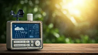
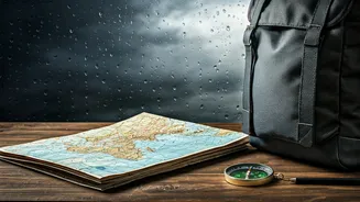
The Right Tools for the Forecast
For travel in the Indian mountains, specialised tools are your best bet. The official Mausam app from the Indian Meteorological Department (IMD) is a good starting point for localised alerts. Globally recognised services like AccuWeather and Skymet Weather also provide detailed forecasts for many Indian towns and cities. For trekkers and those heading to more remote areas, apps like Windy are invaluable. They provide visual maps showing wind, precipitation, and atmospheric pressure, helping you track approaching weather systems in real time. Websites like Mountain Forecast offer predictions for thousands of specific peaks, with forecasts for different elevations on the same mountain. In areas with no internet, a satellite messenger can be a lifesaver, allowing you to request weather updates for your exact location.
How to Read the Weather Like a Pro
Getting the forecast is only half the battle; you also need to interpret it correctly. Don't just look at the daily high. Check the hourly breakdown to plan your activities. An early morning start might help you avoid the afternoon thunderstorms common in many hill regions. Pay attention to the 'feels like' temperature, which accounts for wind chill. High winds on an exposed ridge can make a cool day feel dangerously cold. Look at precipitation probability and amount. A 90% chance of a light drizzle is very different from a 50% chance of a heavy downpour that could cause flash floods. Also, learn to read the clouds. Feathery cirrus clouds or dark, lumpy cumulus clouds can often signal an approaching storm.
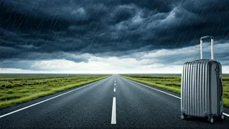
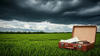
Turn Your Forecast Into a Plan
A weather check is only a hack if you act on it. Use the forecast to make smart decisions. This starts with packing: a layered clothing system is non-negotiable. A moisture-wicking base layer, a warm insulating layer, and a waterproof outer shell will prepare you for the dramatic temperature swings common in the mountains. The forecast should also guide your itinerary. If heavy rain is predicted, swap that high-altitude trek for a local market visit. If strong winds are forecast, avoid exposed ridges. Always have a backup plan. In the mountains, weather-related delays and cancellations are common, from washed-out roads to grounded flights. Being mentally prepared for plans to change is as crucial as packing a raincoat.