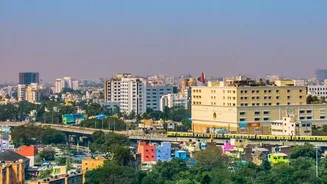





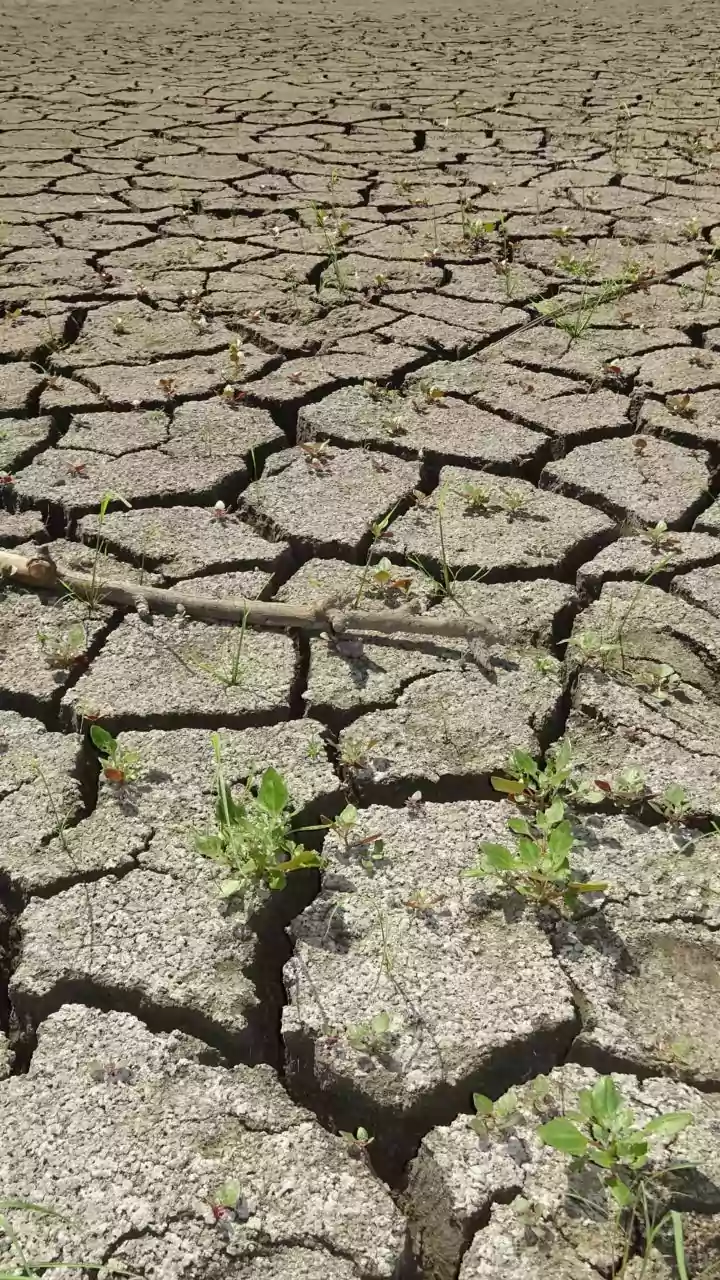



A Record Dry Spell
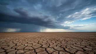
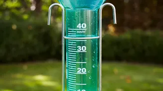
The numbers from the India Meteorological Department (IMD) paint a clear picture of the rainfall deficit. The city’s main observatory recorded just 23 mm of rain for the entire month of July. This is a dramatic drop from the typical average of 80 to 116
mm for the month. The only July on record that was drier was in 1918, when a mere 18.5 mm was recorded. This dry spell was made more extreme by record-breaking heat. On July 14, Bengaluru registered its hottest July day in 112 years, with temperatures hitting 33.6°C, compounding the effects of the absent rain.
A Monsoon Out of Sync
The situation in Bengaluru is part of a broader, more complex monsoon story. While coastal Karnataka received showers due to an offshore trough, the effect barely reached the south-interior, including Bengaluru. Meteorologists point to a combination of factors for the weak monsoon performance. The primary culprit is a strengthening El Niño in the Pacific Ocean, a phenomenon known to suppress monsoon rainfall in India. This was coupled with a neutral Indian Ocean Dipole (IOD) and an unfavourably positioned Madden-Julian Oscillation (MJO), both of which typically help energise the monsoon but failed to do so this season. As a result, even when strong winds blew across the state, they lacked the necessary moisture to produce significant rain.
Redefining the Monsoon Assessment
This event is forcing a change in how officials assess the monsoon. A simple total rainfall figure for the whole season can be misleading. Despite the parched July, Bengaluru's annual rainfall remains near normal, thanks to heavy pre-monsoon showers earlier in the year. However, this doesn't reflect the reality of dry spells and their impact on water availability. Experts and authorities are now pushing for a more nuanced 'local monsoon assessment'. This approach considers not just the total volume of rain, but also its distribution, timing, and intensity. It acknowledges that a month of extreme dryness, even within a 'normal' year, can severely strain water resources, particularly groundwater levels. The IMD itself is moving towards more granular, impact-based forecasts to better prepare cities for such volatile weather patterns.
The Impact on City Life
For residents of Bengaluru, the consequences are tangible. The city's major water sources, the Krishna Raja Sagar (KRS) and Kabini reservoirs, are at concerningly low levels compared to last year. While the Bangalore Water Supply and Sewerage Board (BWSSB) has assured the public of a four-month water supply, the situation is precarious. A poor showing in August and September, traditionally the city's wettest months, could trigger a severe water crisis. The state government is already preparing for the possibility of declaring a drought in several regions by the end of August. This dry spell exacerbates a pre-existing groundwater crisis, with thousands of borewells having already dried up in recent years, forcing many to rely on expensive private water tankers.
What Happens Next?
The forecast for August offers little immediate relief. The IMD predicts below-normal rainfall for the month as El Niño's influence is expected to persist. A brief revival of rainfall is anticipated between August 6 and 12, but the monsoon is likely to weaken again afterward. This outlook has intensified the ongoing Cauvery water-sharing dispute, as Karnataka points to the rainfall deficit and low reservoir levels as reasons to limit water release. The focus now shifts to the latter half of the monsoon season. Experts remain hopeful that August and September, which historically account for over 60% of the city's seasonal rainfall, will deliver the much-needed water to replenish reservoirs and recharge groundwater.