



A Constant Eye in the Sky
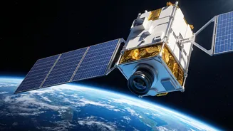
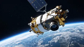
Unlike most Earth observation satellites that orbit the planet every 90 minutes or so, GISAT-1A will be placed in a geostationary orbit, approximately 36,000 kilometres above the Earth. In this unique position, the satellite moves at the same speed as
the Earth's rotation, allowing it to remain stationary over the Indian subcontinent. This provides an unprecedented capability: a constant, unwavering gaze. Instead of getting fleeting glimpses of a location, ISRO will be able to monitor the entire Indian landmass continuously. The satellite is designed to image the whole country every half hour and can focus on a specific area of interest to provide updates every five minutes, with a resolution of about 42 metres.
A Game-Changer for Disaster Management
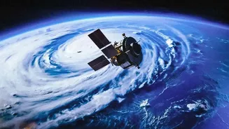
One of the most critical applications of GISAT-1A is in the field of disaster management. Its ability to provide rapid, repeated imagery will be invaluable for monitoring the development and progress of natural disasters. For a country prone to cyclones, floods, and forest fires, this near real-time tracking can save lives and property. Emergency response teams will be able to see how a flood is spreading, where a forest fire is moving, or the intensity of a cyclone as it approaches the coast, allowing for more effective planning, timely evacuations, and targeted relief efforts. This represents a shift from reactive analysis to proactive monitoring.
Strengthening National and Border Security
While its primary applications are civilian, the strategic importance of GISAT-1A cannot be overlooked. The satellite's persistent surveillance capabilities provide a significant advantage for national security. Continuous monitoring of India's extensive land and sea borders will help in tracking movements and detecting any unusual activities in sensitive areas. This constant watch enhances situational awareness for defence forces, providing crucial data for operational planning and intelligence gathering. The ability to quickly revisit any point of interest gives it a dual-use capacity that is vital in today's geopolitical landscape.
A Boost for Agriculture and the Environment
Beyond disasters and defence, GISAT-1A is set to be a powerful tool for managing India's natural resources. The satellite will be equipped with advanced instruments, including multispectral and hyperspectral cameras that can see in different wavelengths of light. This technology will allow scientists to monitor crop health, assess agricultural yields, and detect pest infestations on a large scale. It will also aid in forestry management by tracking forest cover changes and identifying areas of deforestation. Furthermore, the satellite will contribute to climate science by monitoring glaciers, water bodies, and overall vegetation, providing valuable long-term data on environmental changes.
Redemption and a Look Forward
The upcoming launch is also a story of resilience for ISRO. GISAT-1A, also known as EOS-05, is a successor to the GISAT-1 (EOS-03) satellite, which was lost during a launch failure in August 2021 due to a malfunction in the rocket's cryogenic upper stage. This mission is therefore not just about deploying a new satellite, but also about validating the reliability of the GSLV Mk-II rocket. A successful launch will heal the wounds of the past failure and restore a critical capability that has been missing for five years, reinforcing India's self-reliance and prowess in space technology.