


From Space to the Classroom
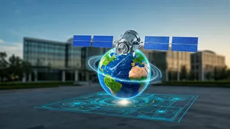
When we think of India's space program, we often picture the impressive rocket launches from Sriharikota. But the real revolution is happening more quietly in classrooms and computer labs across the country. Satellite data analysis—the skill of interpreting
images and information collected by Earth-orbiting satellites—is no longer a niche expertise reserved for ISRO scientists. It's becoming a fundamental skill for students, driven by the vast amounts of data our satellites now provide. Educational institutions are increasingly integrating Geographic Information Systems (GIS) and remote sensing into their curricula, from the school level in subjects like geography to advanced postgraduate diplomas. This shift is preparing a new generation to use 'eyes in the sky' to tackle challenges on the ground.
ISRO's Educational Push
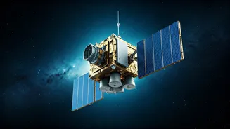
The Indian Space Research Organisation (ISRO) is actively fostering this trend. Recognising the need to build a skilled workforce, ISRO has been encouraging student participation in space technology for years. This includes not only programmes where students can design and build their own small satellites but also a significant effort to make its vast repository of satellite data accessible. Through its Indian Institute of Remote Sensing (IIRS) and various outreach programmes, ISRO offers short courses and workshops on satellite data processing and analysis. These initiatives aim to empower students and professionals to utilise data from Indian satellites for practical applications, helping to translate space investments into grassroots-level benefits.
Solving India's Biggest Challenges
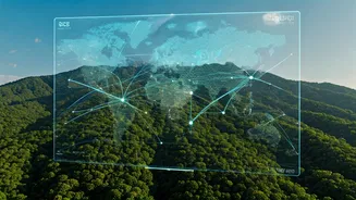
The applications for this skill are immense and directly relevant to India's most pressing needs. In agriculture, satellite data helps in forecasting crop yields, monitoring drought conditions, and assessing soil health, empowering farmers with crucial information. Startups are now using this technology to help banks assess farmland and provide loans to farmers in minutes instead of weeks. In disaster management, satellite imagery is critical for providing early warnings for cyclones, mapping flood-affected areas in real-time, and monitoring forest fires. As cities expand, urban planners use satellite data to manage growth, monitor infrastructure projects, and ensure sustainable development. This makes satellite data analysis a key tool for building a more resilient and prosperous India.
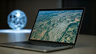
Building a Career in Geospatial Tech
The growing demand for these skills is creating a vibrant job market. Careers that were once rare are now in high demand across various sectors. Graduates with expertise in GIS and remote sensing can find roles as geospatial analysts, data scientists, and environmental consultants. Companies in agritech, finance, urban planning, and logistics are all looking for professionals who can turn raw satellite data into actionable insights. Several universities across India now offer specialised M.Sc. and P.G. Diploma courses in Geoinformatics and Remote Sensing, providing a clear pathway from education to employment. Platforms like ISRO's Bhuvan geoportal provide free access to data, allowing students to experiment and build projects, further enhancing their employability.