





The Perennial Threat on India's Coasts
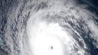
India’s extensive 7,500-kilometre coastline is a hub of economic activity and home to densely populated communities. However, this vibrant region is also one of the world's most vulnerable to tropical cyclones. While high-speed winds cause significant
damage, the greatest threat to life is often the storm surge—a massive bulge of seawater pushed ashore by the cyclone. This abnormal rise in sea level can flood coastal areas with devastating speed and force, destroying homes, contaminating agricultural land with saltwater, and causing immense loss of life. History has shown the catastrophic potential of these events. Improving the accuracy and lead time of storm surge warnings is not just a scientific goal; it is a national imperative for disaster management and public safety.
A Sharper Eye in the Sky
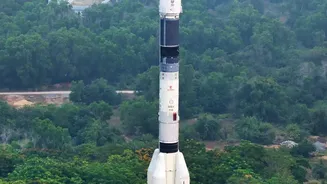
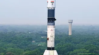
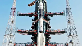
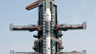
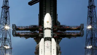
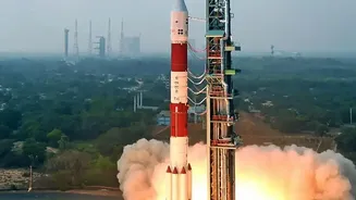
The Indian Space Research Organisation (ISRO) has significantly bolstered its earth observation capabilities with a new generation of satellites. A key upgrade is the INSAT-3DS, launched in February 2024. Fully funded by the Ministry of Earth Sciences, this dedicated meteorological satellite joins its predecessors, INSAT-3D and INSAT-3DR, to provide continuous and enhanced monitoring of weather systems over the Indian Ocean. It is equipped with an advanced atmospheric sounder that can create detailed vertical profiles of temperature and humidity, giving forecasters a three-dimensional view of a developing cyclone. This is complemented by the groundbreaking NASA-ISRO Synthetic Aperture Radar (NISAR) satellite. Using advanced dual-frequency radar, NISAR can see through clouds and darkness to map changes on the Earth’s surface with centimetre-level precision, a capability that is set to revolutionise how we monitor coastal changes.
How New Data Creates Better Forecasts
Satellites don’t see a storm surge directly. Instead, they provide the critical data that fuels complex predictive models. Agencies like the Indian National Centre for Ocean Information Services (INCOIS) run a sophisticated Storm Surge Early Warning System (SSEWS). This system relies on inputs like wind speed, atmospheric pressure, and sea surface conditions, all of which are measured by satellites like INSAT-3DS. The richer, more frequent, and higher-resolution data from this new satellite allows these models to simulate a cyclone’s behaviour with greater fidelity. Furthermore, NISAR's unique radar capability adds another layer of intelligence. It can precisely map coastal topography and monitor shoreline changes, identifying areas that are most susceptible to inundation. By feeding this highly accurate ground-level information into the models, forecasters can move from general warnings to highly specific predictions.
The Power of Precision
The promise of 'precision' forecasting translates into tangible, life-saving advantages on the ground. More accurate predictions about the exact location and height of a storm surge allow disaster management authorities to issue more targeted evacuation orders. Instead of evacuating vast stretches of coastline based on a wide margin of error, resources can be focused on the specific villages and districts that are truly at risk. This not only makes evacuations more efficient but also builds public trust by reducing the 'cry wolf' syndrome. The data from NISAR can also provide near-real-time maps of areas that have been flooded after a storm has passed, guiding rescue and relief teams to the worst-hit locations with unprecedented speed.
A Shield for Coastal India
The impact of these satellite upgrades extends beyond immediate disaster response. By enabling better tracking of coastal erosion and the health of natural buffers like mangroves, the data helps in long-term coastal zone management. For millions of fishermen, farmers, and port workers, more reliable forecasts mean better protection for their livelihoods. The ability to predict storm surges with greater accuracy is a monumental step forward in India’s climate resilience strategy. It showcases how the nation's prowess in space technology is being directly harnessed to build a protective shield for its most vulnerable citizens, ensuring that communities have the time and information they need to act before disaster strikes.