




Understanding SAR Technology
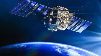
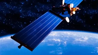
Synthetic Aperture Radar, or SAR, is a powerful form of remote sensing. Unlike optical satellites that depend on light and are hindered by clouds or darkness, SAR can capture high-resolution images of the Earth's surface at any time, in any weather. It
works by sending microwave signals towards a target and analyzing the signals that bounce back. This technology is crucial for disaster management, environmental monitoring, agriculture, and national security, making expertise in it a highly sought-after skill.
The IIRS Connection: Who Runs the Course?
Most of ISRO's public-facing training programs are conducted by the Indian Institute of Remote Sensing (IIRS) in Dehradun. IIRS is a premier institution under ISRO dedicated to capacity building in geospatial technology. These courses, including those on SAR, are frequently offered free of charge through the IIRS Outreach Programme, which aims to spread knowledge on space technology and its applications. The programs are delivered online, making them accessible to students and professionals across the country.
Eligibility: Who Can Apply?
Eligibility criteria can vary slightly from one course to another, but generally, ISRO's advanced courses are aimed at a specific academic audience. Participants are often required to be undergraduate or postgraduate students (in any year) in fields like geosciences or engineering. Some courses also welcome technical or scientific staff from government organizations, faculty members, and researchers. A basic knowledge of remote sensing and GIS is often a prerequisite for more advanced topics like SAR data processing. Announcements for specific courses, like the "SAR Data Processing and its Application" course, will detail the exact requirements.
What You Will Learn: A Look at the Curriculum
A typical SAR course covers a comprehensive range of topics. It starts with the fundamental principles of microwave remote sensing and progresses to complex techniques. Key modules often include SAR data processing, analysis of different SAR data types (like PolSAR and InSAR), and real-world applications. Students learn to use open-source software and may work with data from India's own radar imaging satellites, such as the RISAT series. The curriculum is designed to provide hands-on experience, enabling participants to analyze space-borne data for applications in fields like forestry, agriculture, cryosphere studies, and disaster management.
The Application Process Step-by-Step
The application process is entirely online and user-friendly. Aspiring participants must register on the IIRS e-learning portal. This usually involves creating an account, filling in personal, academic, and professional details, and selecting the desired course. For students enrolled in a university, the application may need to be approved by a coordinator from their institution, which must be registered as a nodal center. Once an application is approved, participants receive login credentials for the IIRS e-class platform, where they can access live sessions, study materials, and recorded lectures.
Certification and Career Benefits
Upon successful completion, participants are awarded a certificate from IIRS-ISRO. Typically, a minimum attendance of 70% is required to be eligible for the certificate. This certification holds significant value, signaling a strong foundation in a cutting-edge geospatial technology. Expertise in SAR opens doors to careers in various sectors, including environmental consulting, urban planning, disaster response agencies, and the growing geospatial industry. It provides a competitive edge for roles that require analysis of Earth observation data, a skill that is becoming increasingly vital in a data-driven world.