




Methane: The Potent, Invisible Problem
For decades, carbon dioxide has dominated the climate change conversation. But its less famous cousin, methane (CH4), is a powerful and fast-acting greenhouse gas. Over a 20-year period, methane is more than 80 times more effective at trapping heat in the atmosphere
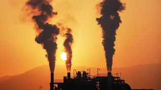
than CO2. While it has a shorter lifespan in the atmosphere, its immediate impact is immense, making it responsible for about a third of the global warming experienced since the industrial revolution. The primary human-caused sources of methane are well-known: the energy sector (oil, gas, and coal), agriculture, and waste from landfills. Reducing these emissions is considered the quickest way to put an 'emergency brake' on near-term warming. The challenge, however, has always been measuring it. Methane is colourless and odourless, and for years, estimates of its release have relied on calculations and self-reporting from industries, a system now proven to be deeply flawed.
A New Set of Eyes in the Sky
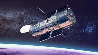
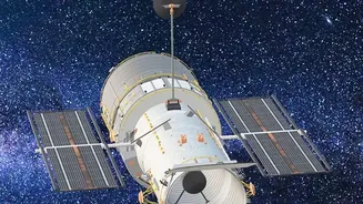
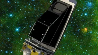
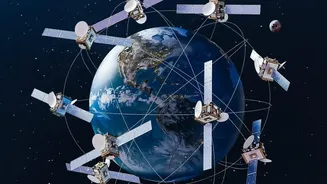
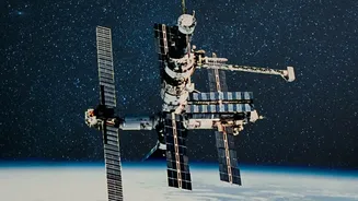
The game-changer is a technology called hyperspectral imaging, now being deployed on a new generation of satellites. Think of it as giving a standard camera a superpower. Where a normal camera sees light in three basic colours (red, green, blue), a hyperspectral sensor can see hundreds of narrow bands across the light spectrum, far beyond what the human eye can perceive. Methane gas, while invisible to us, absorbs sunlight in a very specific part of the shortwave infrared spectrum. When sunlight passes through a methane plume, bounces off the Earth, and travels back to a satellite, the sensor detects this unique light absorption—a distinct 'fingerprint' that screams methane. Missions like MethaneSAT, NASA's EMIT instrument on the International Space Station, and the Carbon Mapper coalition's Tanager-1 satellite are using this technology to scan the globe with unprecedented detail.
What the Data Is Revealing
The findings from these orbital sensors have been nothing short of staggering. Study after study shows that actual methane emissions are far higher than what has been officially reported. The International Energy Agency estimates that global energy-related methane emissions are about 80% higher than what countries officially report. In the U.S. Permian Basin, a major oil and gas field, MethaneSAT found emissions were four times higher than Environmental Protection Agency estimates. These satellites are not just seeing a general haze; they can pinpoint individual sources, from leaky pipelines and oil wells to specific landfill sites and large-scale agricultural operations. These high-emission sources are often dubbed 'super-emitters', and the data shows they contribute a disproportionately large share of the total pollution. For instance, NASA's EMIT instrument, though designed to study mineral dust, quickly identified more than 50 methane super-emitters, including a 3-mile-long plume over an Iranian landfill.
From Data to Accountability
This newfound transparency is transforming the abstract problem of methane emissions into an actionable one. Public data portals, like the one run by the Carbon Mapper consortium, are making this information available to governments, researchers, and the public, often for non-commercial use. This allows for direct attribution of emissions to specific facilities, creating powerful leverage for accountability. The data has already demonstrated the effectiveness of regulation. A MethaneSAT study showed that methane pollution on the New Mexico side of the Permian Basin was less than half that of the Texas side, which has less stringent rules. This kind of evidence moves the debate from theory to proven fact. With satellites able to track plumes over time, it's now possible to verify if mitigation efforts are working, creating a feedback loop for policymakers and pressuring companies to fix leaks that were once easy to ignore.