

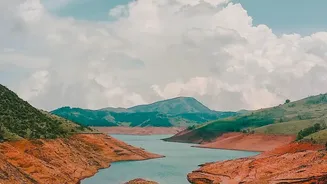


Our Planet's Kidneys, Seen From Above
Wetlands are the unsung heroes of our environment. Acting like the planet’s kidneys, they filter pollutants, store vast amounts of carbon, protect us from floods, and provide a habitat for a staggering 40% of the world's species. Yet, they are notoriously
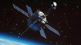
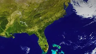
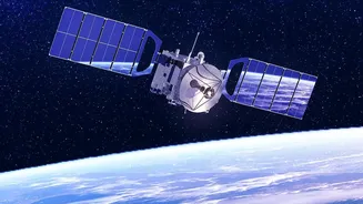
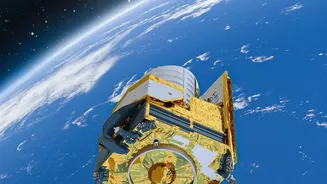
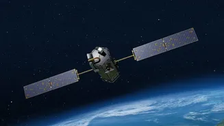
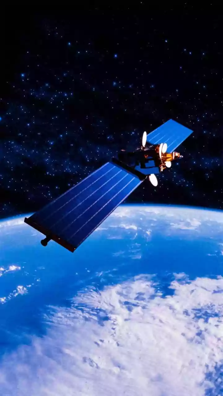
difficult to monitor. Many are remote, vast, or inaccessible, making on-the-ground surveys costly and impractical. This is where Earth Observation (EO) comes in. Using a fleet of satellites orbiting hundreds of kilometres above us, scientists can now get a consistent and comprehensive view of these ecosystems. This technology, which includes everything from radar to multispectral imaging, allows us to see beyond what the human eye can, providing crucial data for their conservation and management.
Decoding the Data: Water, Plants, and More
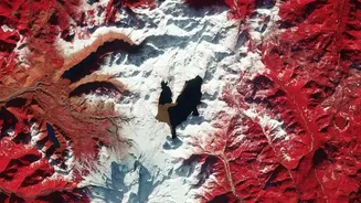
So, what exactly can these satellites 'see'? Primarily, they track the presence and extent of water. Different types of sensors provide different insights. Optical sensors, like those on the Copernicus Sentinel-2 mission, capture images in various light spectrums to map vegetation health and water cover. One key technique is measuring the 'Normalized Difference Vegetation Index' (NDVI), which acts as a proxy for plant health by analysing how they reflect solar radiation. However, clouds can block optical sensors, and dense vegetation can hide the water underneath. This is where Synthetic Aperture Radar (SAR) technology becomes invaluable. Satellites like Sentinel-1 use radar pulses that can penetrate clouds, darkness, and even plant canopies to measure water levels and soil moisture, offering an all-weather, day-and-night monitoring capability.
The Rhythmic Pulse of Seasonal Change
One of the most powerful revelations from EO is its ability to track the dynamic, seasonal nature of wetlands. These ecosystems are not static; they breathe with the seasons. Their boundaries expand during monsoons and shrink in the dry months. This regular flooding and drying cycle is the very pulse that keeps them healthy and productive. With satellites passing over the same spot every few days, scientists can create time-lapse views that show this ebb and flow in detail. This provides an unprecedented understanding of a wetland's 'hydroperiod'—the timing and duration of inundation—which is critical for the survival of the plants and animals that depend on it. This continuous monitoring helps establish a baseline, making it easier to spot anomalies caused by drought, human intervention, or climate change.
From Data to Actionable Insights
This wealth of data is not just for academic interest; it drives real-world action. By providing a global inventory of water resources, missions like NASA's Surface Water and Ocean Topography (SWOT) satellite help manage freshwater supplies for agriculture and industry. The information is crucial for flood prediction, allowing authorities to prepare for and mitigate the impact of extreme weather events. Conservationists use the data to identify biodiversity hotspots, monitor the success of restoration projects, and detect illegal activities like unauthorised draining or construction. Furthermore, tracking changes in wetland extent and vegetation helps scientists calculate carbon storage, a vital component in our global efforts to combat climate change. This information is essential for countries to meet reporting obligations under international treaties like the Ramsar Convention on Wetlands.
A Critical Tool for India's Water Security
For a country like India, with its vast and diverse network of wetlands from the Himalayan lakes to the coastal mangroves of the Sundarbans, this technology is a game-changer. These ecosystems are critical to the nation's water security, supporting millions of livelihoods and protecting populous coastal areas. Earth Observation offers a cost-effective way to monitor these invaluable natural assets, many of which are under increasing pressure from urbanisation and climate change. By integrating satellite data with ground-based observations, Indian authorities can make more informed decisions on water management, disaster preparedness, and biodiversity conservation. This ensures the wise use and protection of these ecosystems for generations to come, supporting key sustainable development goals related to clean water and climate resilience.