







A New Sentinel in Geostationary Orbit
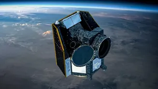
The asset at the heart of this new capability is the Earth Observation Satellite-05 (EOS-05), also known as GISAT-1A. Scheduled for a landmark launch on September 4, 2026, this satellite is not just another eye in the sky; it's India's first imaging satellite to
be placed in a geostationary orbit. Most Earth observation satellites, like those in the Cartosat series, operate in Low Earth Orbit (LEO), circling the globe and revisiting a specific spot only periodically. EOS-05, however, will be positioned at an altitude of approximately 36,000 kilometres. At this height, its orbital speed matches the Earth's rotation, allowing it to effectively hover over the Indian subcontinent, providing a persistent and unbroken view. This mission is also a display of resilience for ISRO, as it replaces the nearly identical GISAT-1 satellite that was lost during a launch failure in August 2021.
What 'Real-Time' Vigilance Means
The strategic advantage of a geostationary orbit is its ability to enable near-real-time monitoring. Instead of waiting for a satellite to pass over a sensitive area, security forces will have access to continuous surveillance. EOS-05 is equipped with high-resolution multispectral and hyperspectral cameras capable of capturing images across various wavelengths of light, including visible, near-infrared, and thermal. According to mission profiles, it can image the entire Indian landmass every 30 minutes. For areas of high priority, such as active border regions or developing natural disasters, it can revisit and provide fresh imagery as frequently as every five minutes. This rapid revisit capability is a game-changer for tracking dynamic situations, from troop movements to infrastructure build-ups along the borders.
A Dual-Purpose Powerhouse
While the headline focuses on border vigilance, EOS-05 is designed for both military and civilian applications, making it a versatile national asset. Its persistent watch will be invaluable for the armed forces in monitoring strategic locations and maritime interests. Beyond defence, the satellite will be a crucial tool for disaster management agencies. Its ability to provide quick, repeated imagery can help track the progression of cyclones, floods, and forest fires, allowing for more effective response and mitigation efforts. The data will also support a wide range of other applications, including monitoring agriculture, forestry, and environmental changes. This dual-use nature ensures that the technological leap forward serves a broad spectrum of national interests, from security to public welfare.
The Technology Behind the Vision
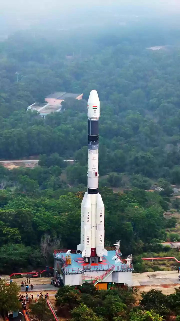
Placing a 2,367 kg satellite into such a high orbit is a monumental task that relies on ISRO's powerful Geosynchronous Satellite Launch Vehicle (GSLV). The GSLV-F17 rocket will carry EOS-05 on its journey from the Satish Dhawan Space Centre in Sriharikota. The satellite itself is an engineering marvel, equipped with a 700 mm telescope and advanced sensors that can achieve a spatial resolution of 42 metres—an impressive feat from 36,000 km away. Its agile platform allows it to be quickly repointed to focus on sudden events, a critical feature for both security surveillance and emergency response. This mission not only enhances India's observation capabilities but also reaffirms its position among a select group of nations with the technology to operate sophisticated imaging platforms from geostationary orbit.