




Predicting the Unpredictable
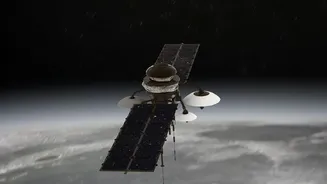
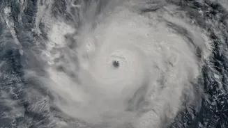
Before a single drop of rain causes a flood, scientists are looking for clues from space. Meteorological satellites, like those in India's INSAT series, constantly monitor atmospheric conditions over the Indian Ocean. They track key variables that signal
the monsoon's behaviour, such as sea surface temperatures, cloud formations, and wind patterns. By feeding this data into complex models, forecasters at the India Meteorological Department (IMD) can predict the intensity of rainfall and issue early warnings for cyclones and heavy precipitation events, often several days in advance. This predictive capability is crucial, giving authorities a critical head start to prepare vulnerable areas before disaster strikes.
Seeing Through the Clouds
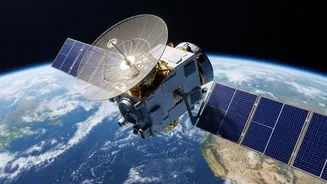
One of the biggest challenges during a monsoon disaster is the persistent cloud cover that blocks traditional cameras. This is where Synthetic Aperture Radar (SAR) technology becomes a game-changer. Satellites equipped with SAR, such as India's RISAT series, don't rely on sunlight. Instead, they actively send down microwave pulses and measure the signals that bounce back. Calm, standing floodwater acts like a mirror, reflecting the signal away from the satellite and appearing as dark patches in the resulting images. This allows agencies like ISRO's National Remote Sensing Centre (NRSC) to create near real-time flood inundation maps, regardless of weather or time of day. These maps show exactly which villages and infrastructure are underwater, guiding rescue teams to the most affected areas with remarkable precision.
Pinpointing Landslide Risks
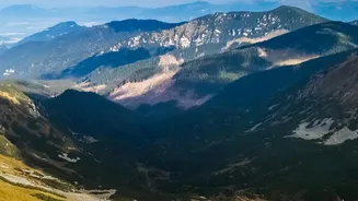
Landslides are another deadly monsoon hazard, often triggered by intense rainfall on unstable slopes. Satellite data provides two key insights for landslide prediction. Firstly, satellites measure rainfall accumulation over specific regions. Studies have shown that when rainfall intensity and duration cross a certain threshold for a particular area, the risk of a landslide increases dramatically. Secondly, highly sensitive radar techniques can detect tiny, almost imperceptible changes in the ground surface. Millimeter-scale ground deformation can be a precursor to a slope giving way. By combining rainfall data with topographical maps and information on soil type and land cover, scientists can create landslide susceptibility maps that highlight high-risk zones. ISRO is actively using these techniques to develop early warning systems for vulnerable regions.
Assessing the Aftermath
Once the rains subside and the immediate danger has passed, the work is far from over. Satellites play a vital role in damage assessment, which is essential for effective relief and recovery. By comparing high-resolution 'before' and 'after' images of a disaster-struck area, officials can quickly quantify the extent of the damage. They can see which bridges have been washed away, which roads are cut off, and how many buildings have been destroyed or damaged. This information is invaluable for prioritising reconstruction efforts and allocating resources where they are needed most. This rapid, large-scale assessment would be nearly impossible to conduct solely with on-the-ground surveys, especially when areas remain inaccessible.