






A Doctor's Check-up From Orbit
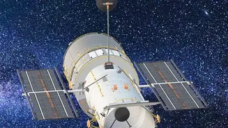
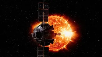
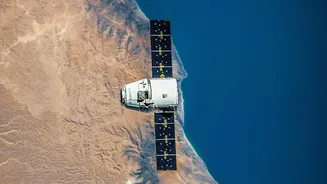
Think of Earth observation satellites as the planet's primary care physicians. Continuously circling the globe, these high-tech instruments use remote sensing to gather a staggering amount of data about our world's condition. They function much like a CT
scan, using sensors to see things beyond the capability of the human eye. By measuring everything from temperature and atmospheric gases to the colour of the oceans, they provide a holistic and unbiased record of planetary change. For more than 30 years, this continuous stream of information has been essential for scientists to distinguish between short-term weather and long-term climate patterns, forming the factual bedrock of our understanding of climate change.
Tracking Our Rising Seas
One of the most critical vital signs monitored from space is sea-level rise. Missions like the joint US-European Sentinel-6 use instruments called altimeters. These devices bounce radar pulses off the ocean's surface and measure the time it takes for the signal to return. This allows for incredibly precise measurements of sea surface height, down to the millimetre. This data has shown that global sea levels are not only rising but that the rate of rise is accelerating. Satellites also reveal that this rise is not uniform across the globe, helping identify regions that are particularly vulnerable to coastal flooding and erosion. This information is indispensable for coastal communities in India and worldwide to prepare and adapt.
An Unblinking Eye on Melting Ice
The cryosphere—our planet's frozen regions—is another key focus. Satellites are uniquely positioned to monitor the vast, remote and inhospitable expanses of the Arctic and Antarctica. Since 1979, microwave sensors on satellites have provided a near-constant picture of sea ice extent. More advanced missions, like NASA's ICESat-2, use lasers to measure the thickness of ice sheets and glaciers with remarkable precision. This has provided undeniable evidence of thinning ice sheets and accelerating glacier retreat. This melting ice is a primary contributor to rising sea levels, and the data gathered from space is crucial for forecasting future changes and understanding the urgent need for climate action.
A Global Greenhouse Gas Watch
While we can measure greenhouse gases on the ground, satellites offer a comprehensive global view of their concentration and movement in the atmosphere. Missions such as NASA's Orbiting Carbon Observatory (OCO) series are specifically designed to map carbon dioxide levels around the world. These instruments can help scientists identify both the sources of emissions, such as industrial areas, and the natural sinks, like forests and oceans, that absorb CO2. India's own INSAT-3D and 3DR satellites also contribute by providing vertical profiles of humidity and temperature, which are key components of the climate system. This global monitoring helps refine our understanding of the planet's carbon cycle and holds nations accountable for their emissions pledges.
Powering the Climate Models of Tomorrow
Ultimately, the vast quantities of data collected by satellites—on oceans, ice, land, and atmosphere—all feed into one of the most important tools we have: climate models. These complex computer simulations are used to understand the causes of past changes and to project future climate scenarios. The global and consistent nature of satellite data helps to test, validate, and improve these models, increasing our confidence in their predictions. For example, by feeding accurate observations of sea-ice melt into models, scientists can better predict when the Arctic might experience its first ice-free summer. This predictive power, enabled by space technology, is vital for policymakers to make informed decisions to mitigate risks and build resilience.