




An Eye in the Sky for Every Field
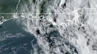
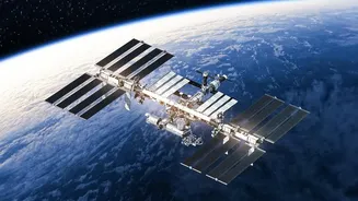
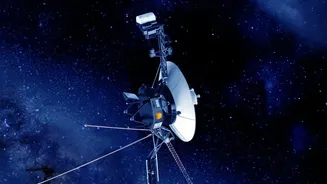
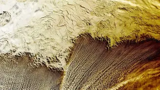
At its core, satellite farming, also known as precision agriculture, uses remote sensing to give farmers a bird's-eye view of their land. Satellites equipped with advanced sensors capture detailed images of farmland as they orbit the planet. This isn't
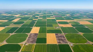
just a simple photograph; these sensors capture light that is invisible to the human eye, specifically in the near-infrared spectrum. This allows for a comprehensive assessment of vast agricultural areas, something that would be impossible with traditional on-foot inspections. What used to take months of physical survey work can now be updated every few days, providing a constant stream of information. For a country like India, where agriculture employs millions across diverse and often small landholdings, this ability to monitor at scale is transformative.
Decoding the Colours of Crop Health
One of the most powerful tools derived from this satellite data is the Normalized Difference Vegetation Index, or NDVI. In simple terms, NDVI is a calculation that acts as a measure of a plant's health. Healthy, thriving vegetation is rich in chlorophyll, which strongly absorbs visible light but reflects near-infrared light. Stressed, unhealthy, or sparse vegetation does the opposite. By comparing these reflected light values, satellites can create a colour-coded map of a field. Lush, green areas on this map might indicate robust health, while yellow or red patches can flag problems like nutrient deficiencies, water stress, or even pest infestations, often before they are visible to the human eye on the ground.
From Data to Actionable Decisions
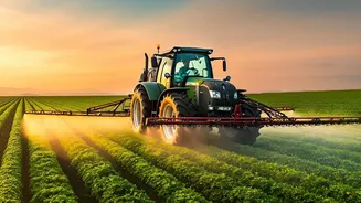
Raw satellite data alone isn't enough. The real magic happens when this information is processed and translated into practical advice for farmers. This is where agritech companies and platforms come in. Using artificial intelligence and sophisticated algorithms, they analyze the satellite imagery to provide specific recommendations. A farmer might receive a notification on their smartphone showing exactly which corner of their field is experiencing water stress and needs irrigation, or which zones require a specific type of fertilizer. This approach, known as precision agriculture, allows for the targeted application of resources. Instead of watering or fertilizing an entire field uniformly, farmers can apply exactly what is needed, precisely where it is needed. This not only improves crop yields but also significantly reduces waste and lowers costs.
The Impact on Indian Agriculture
In India, this technology is moving from a niche concept to a critical component of agricultural strategy. Government initiatives like FASAL (Forecasting Agricultural output using Space, Agro-meteorology and Land-based observations) have used satellite data for years to create crop forecasts. More recently, programmes are using satellite-based models for more accurate yield estimation at the village level to settle crop insurance claims. A growing number of Indian agritech startups are now making this technology accessible directly to farmers and Farmer Producer Organisations (FPOs). Companies like CropIn, DeHaat, and others offer platforms that integrate satellite data with weather forecasts and soil information, providing a complete digital toolkit for farm management. This helps farmers optimize everything from planting dates to harvest times, boosting productivity and strengthening their resilience against climate-related risks like droughts and floods.