


Understanding the Monsoon Risk
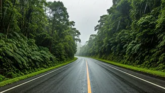
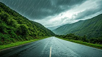
The allure of a rain-soaked mountain getaway is strong, but the dangers are real. During the monsoon, which typically intensifies from late June through August, hill roads become notoriously unpredictable. Saturated soil on steep slopes can give way,
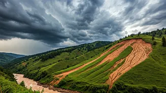
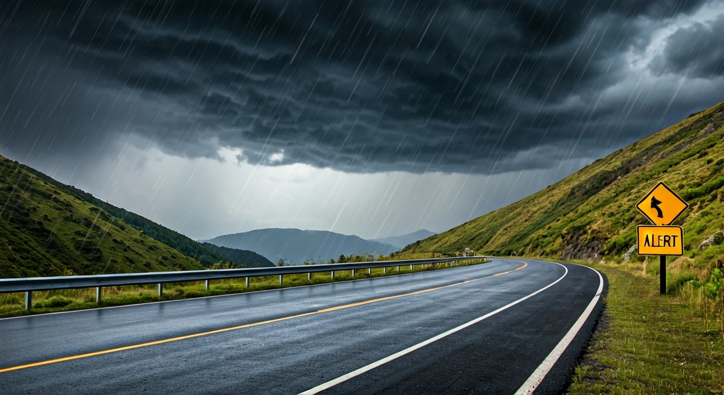
leading to landslides that block roads for hours or even days. According to advisories from the India Meteorological Department (IMD) and various State Disaster Management Authorities (SDMA), regions in the Himalayas and the Western Ghats are particularly vulnerable. Heavy to very heavy rainfall, sometimes from intense, localised cloudbursts, can cause flash floods and wash away sections of roads, leaving travellers stranded. Recent alerts for states like Uttarakhand, Himachal Pradesh, and parts of Kerala and Karnataka highlight the increased risk during this period.
Your Pre-Trip Weather Checklist
Before you even pack your bags, make checking the weather your top priority. The IMD is the most reliable source for weather information in India. Look for district-wise warnings and pay close attention to the colour-coded alerts. A 'Yellow' alert advises you to be aware, an 'Orange' alert means be prepared for potentially disruptive weather, and a 'Red' alert is a warning to take action, as severe conditions are expected. As of late June 2026, the IMD has issued alerts for widespread rainfall and thunderstorms across Himachal Pradesh and Uttarakhand as the southwest monsoon advances. These forecasts are crucial because they indicate the likelihood of conditions that could lead to landslides. Don't rely on generic weather apps; use official sources for the most accurate information.
Finding Real-Time Road Status
A clear weather forecast is only half the battle; you also need to know the condition of the roads you plan to take. Unfortunately, there is no single, nationwide portal for real-time road status in India. However, travellers have several options. State traffic police departments often post updates on their social media pages, especially for major national highways. Community-driven platforms and local travel forums can also be valuable sources of information. For popular destinations like Himachal Pradesh, there are dedicated websites like 'Himachal Road Status' that provide community-powered updates on closures and traffic. Before starting your journey, and each morning of your trip, search for the status of your specific route (e.g., "Manali-Leh highway status") and check for any news reports of blockages.
Essential Apps and Official Websites
To stay informed, it's wise to have a few key resources at your fingertips. The IMD's 'MAUSAM' app provides weather forecasts, radar images, and warnings. The 'SACHET' app, developed by the National Disaster Management Authority (NDMA), is another critical tool that sends geo-targeted disaster alerts directly to your phone. Besides these apps, bookmark the websites of the IMD (mausam.imd.gov.in) and the NDMA. If you are travelling to a particularly high-risk state like Uttarakhand or Himachal, check their respective SDMA websites for localised advisories and emergency contact numbers. These official channels are your best bet for reliable, life-saving information.
On-the-Road Safety and Preparedness
Once you are on the road, stay vigilant. Reduce your speed significantly, as wet roads increase braking distances. Keep your headlights on low beam for better visibility, even during the day. Avoid driving through large puddles, as they can hide deep potholes or cause your vehicle to aquaplane. If visibility drops to near-zero or the rain becomes a torrential downpour, it is safest to pull over at a secure spot—well away from the road and any steep slopes—and wait for conditions to improve. Never attempt to cross a road that is flooded or has fast-flowing water. It's also wise to keep an emergency kit in your car with essentials like a first-aid kit, a torch, extra food and water, and a power bank.