
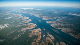

A New Eye in the Sky
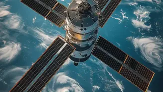
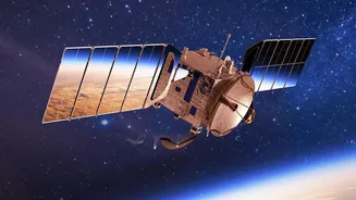
The NASA-ISRO Synthetic Aperture Radar, or NISAR, represents a landmark collaboration between the two space agencies. Launched in July 2025, this sophisticated Earth-observing satellite is equipped with dual-frequency radar systems designed to monitor
our planet's surface in unprecedented detail. While its mission is broad—covering everything from ecosystem disturbances to volcanic activity—one of its most anticipated applications for India is its ability to provide timely, accurate data on water and its movements. The L-band radar from NASA and the S-band radar from ISRO work in tandem, creating a unique and powerful tool for scientific analysis and disaster management. After a period of calibration, the satellite has now entered its full science phase, with ISRO releasing daily processed S-band data through its Bhoonidhi portal and NASA releasing L-band products.
Seeing Through Clouds and Darkness
For a country that receives most of its critical rainfall during the intensely cloudy monsoon season, traditional optical satellites have their limits. They can’t see through the very weather systems that cause flooding. This is where NISAR’s Synthetic Aperture Radar (SAR) technology becomes a true game-changer. Radar actively sends microwave pulses to the Earth's surface and measures the signals that bounce back. This process is unaffected by clouds, rain, or the time of day, allowing NISAR to provide a clear picture of the ground, 24/7, in all weather conditions. Its L-band radar can even penetrate through forest canopies and vegetation to detect standing water beneath, a crucial capability for assessing the true extent of inundation in rural and forested areas.
Why Daily Images Matter So Much
Previous satellite missions offered observations on a repeat cycle of several days or even weeks. While useful for long-term studies, this frequency is not ideal for tracking a rapidly evolving flood. The headline-making feature of the new NISAR data release is its daily cadence. This near-real-time flow of information transforms flood management from a reactive to a proactive discipline. Instead of assessing damage after the fact, authorities can now monitor river levels and floodplain saturation on a daily basis. This allows them to spot the warning signs of a flood building up, predict downstream impacts with far greater accuracy, and issue timely warnings to vulnerable communities. Products are expected to be available within hours for disaster response scenarios, providing actionable intelligence when it's needed most.
From Data to Action on the Ground
The practical implications for India are immense. The vast, flood-prone plains of the Ganges and Brahmaputra rivers can be monitored with a level of detail never before possible. The radar images clearly distinguish between open water, which appears dark, and flooded vegetation, which appears bright, allowing for precise mapping. This data can be fed directly into national and state disaster management agencies, augmenting the existing network of ground-based river gauges. Emergency responders can use these maps to identify the worst-hit areas, plan evacuation routes, and deploy resources like boats and medical teams more effectively. After the floodwaters recede, the same data provides an accurate and objective assessment of the damage to crops, infrastructure, and homes, streamlining relief and recovery efforts.
Beyond the Floodplains
While flood tracking has captured the immediate attention, the applications of NISAR's daily data stream extend much further, touching upon numerous national priorities. For agriculture, the S-band radar's sensitivity to soil moisture and crop status will be invaluable for yield forecasting and drought management. In urban planning, the data can monitor land subsidence in fast-growing cities, a major concern for infrastructure stability. Furthermore, NISAR will track the health of India's forests, the retreat of Himalayan glaciers, and changes along its extensive coastline, providing crucial inputs for climate change adaptation strategies. This single mission will provide a comprehensive and dynamic health report of the Indian subcontinent.