


A Groundbreaking Statewide Initiative
In response to growing environmental pressures, the Kerala State Biodiversity Board (KSBB) has launched a pioneering project: the 'Comprehensive Red List Assessment of Ecosystems in Keralam'. This is the first time an Indian state has undertaken such
a detailed, state-level assessment to systematically evaluate the risk of collapse for its diverse ecosystems. The initiative moves beyond protecting individual species and focuses on the health of entire landscapes, from high-altitude grasslands to coastal mangroves. The project is executed by the Kerala Forest Research Institute (KFRI) and other academic partners, funded by the KSBB.
The Global Standard: IUCN Red List
The foundation of Kerala's assessment is the rigorous framework developed by the International Union for Conservation of Nature (IUCN) for its Red List of Ecosystems (RLE). This global standard provides a scientific, objective method to assess the health of an ecosystem. Instead of just looking at animal or plant populations, the RLE framework evaluates the risk of total collapse based on five key criteria. These criteria consider factors like the historical loss of the ecosystem's area, degradation of its biological function, and disruptions to vital processes like water flow. By applying these standards, scientists can classify habitats as 'Vulnerable', 'Endangered', or 'Critically Endangered', providing a clear measure of threat.
Technology from Above: GIS and Remote Sensing
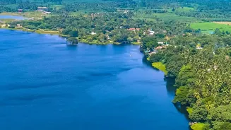
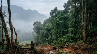
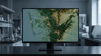
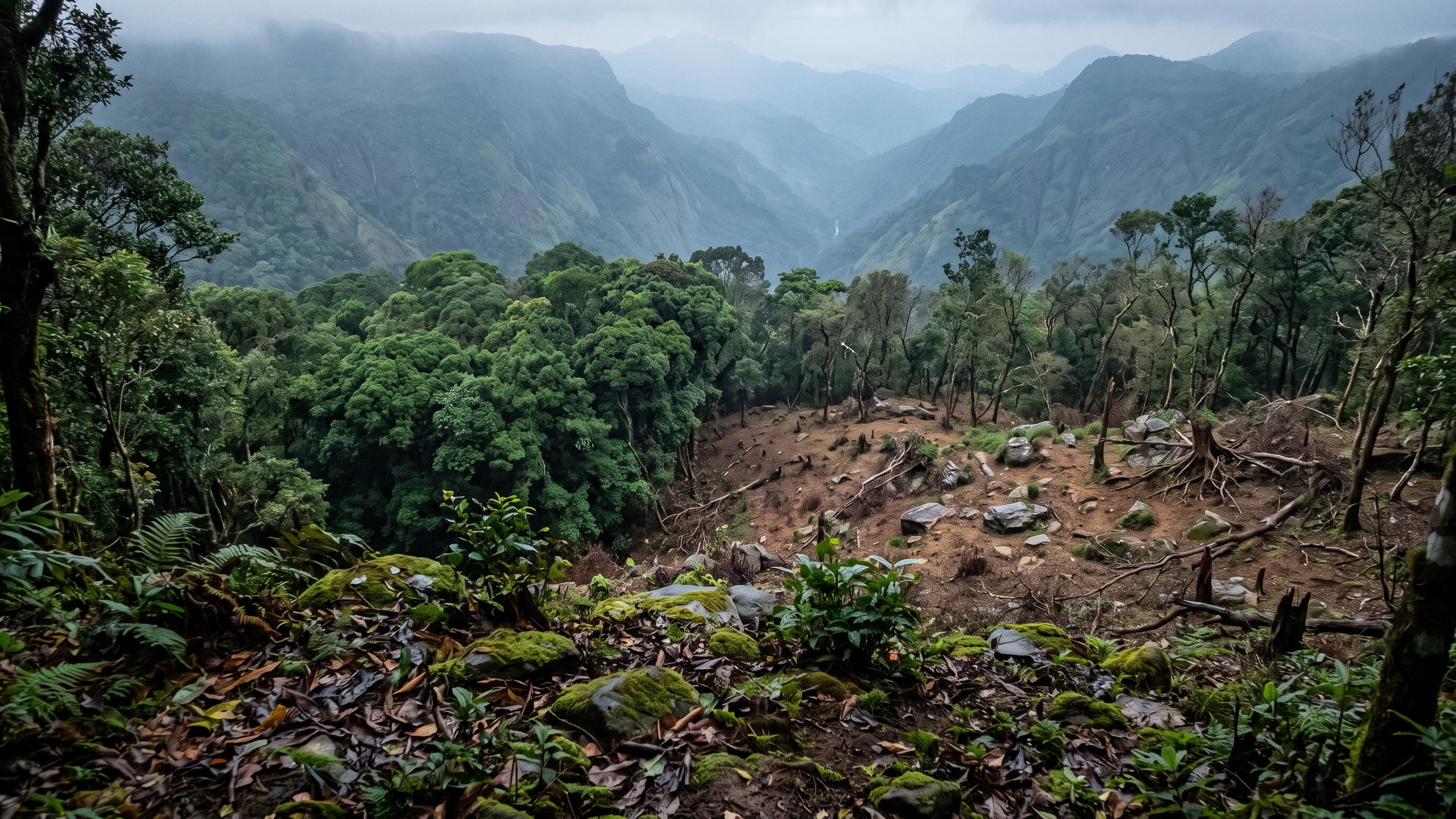
The first step in mapping vast, often inaccessible areas is to get a bird's-eye view. Scientists at institutions like KFRI extensively use Geographic Information Systems (GIS) and remote sensing technologies. High-resolution satellite imagery from agencies like the Indian Space Research Organisation (ISRO) allows researchers to map changes in forest cover, identify deforestation patterns, and monitor habitat fragmentation over time. This technology is crucial for analysing large-scale trends, such as the alarming 83% loss of tropical riparian evergreen forests in the southern Western Ghats over the last century. These digital maps form the backbone of the entire assessment, identifying areas for closer inspection.
On-the-Ground Verification: Field Surveys
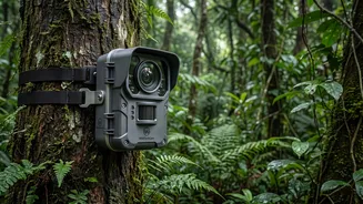
While satellite data provides the big picture, it must be verified with 'boots on the ground' research. Field surveys are essential for understanding the nuances of an ecosystem. Scientists conduct detailed biodiversity inventories, counting and identifying plant and animal species, including those that are endemic or threatened. This involves establishing permanent monitoring plots to track changes in plant communities and animal populations over many years. Researchers also collect physical data, such as soil samples and water quality measurements, to assess the health and function of the habitat. This painstaking work provides the granular data that satellite images cannot capture.
From Data to Actionable Insights
The goal of this massive data collection effort is not just academic. The assessment will produce several critical outputs, including an official Ecosystem Risk Register, an Ecosystem Typology Atlas, and ecorestoration priority maps. This information will be integrated into state planning portals, making it directly accessible to local governments, including panchayats and Biodiversity Management Committees. This empowers local decision-makers to implement targeted conservation efforts, create evidence-based development plans, and prioritise areas for ecological restoration. It provides a clear, scientific roadmap for safeguarding Kerala's natural heritage against threats like climate change and rapid urbanisation.