




A Landscape Built for Calamity
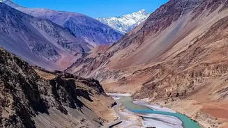
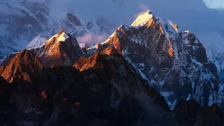
Nepal's geography is a double-edged sword. Nestled in the Himalayas, its beauty is the direct result of intense geological forces that also make it one of the most disaster-prone regions on Earth. The country sits where the Indian and Eurasian tectonic
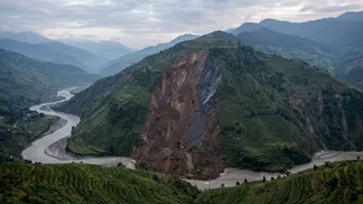
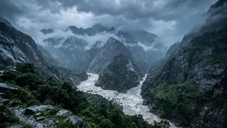
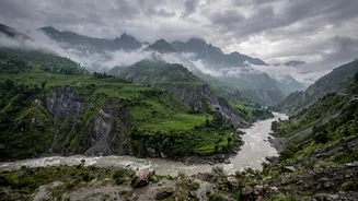
plates collide, creating immense seismic pressure that is periodically released in the form of devastating earthquakes. This active geology defines its steep, fragile mountain terrain. When tremors strike, the impact is amplified, triggering secondary disasters like landslides and avalanches that cascade through narrow valleys. Beyond earthquakes, the country's topography makes it highly susceptible to weather-related events. The intense monsoon season brings torrential rains that saturate the steep slopes, leading to frequent and deadly landslides and flash floods. This combination of seismic risk and climatic hazards means that for many communities, the threat of disaster is a constant reality.
The Challenge of Reaching the Remote
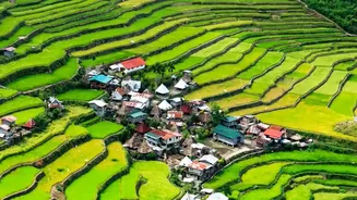
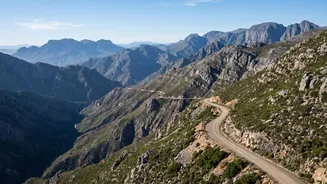
One of the greatest hurdles to disaster preparedness in Nepal is the sheer difficulty of access. Many communities are tucked away in mountainous areas with limited or non-existent road infrastructure. This isolation poses a monumental challenge for relief operations. Even in normal conditions, reaching these villages with supplies and personnel is a logistical feat. After a disaster, it can become nearly impossible. Landslides frequently sever road connections, and damaged bridges can cut off entire districts for extended periods. As seen in recent flash floods, this lack of connectivity severely hampers the ability of rescue teams to reach affected populations and provide immediate, life-saving assistance. Helicopters are often the only option, but their use is dependent on weather conditions and availability, leaving many vulnerable populations stranded when they are needed most.
Climate Change as a Threat Multiplier
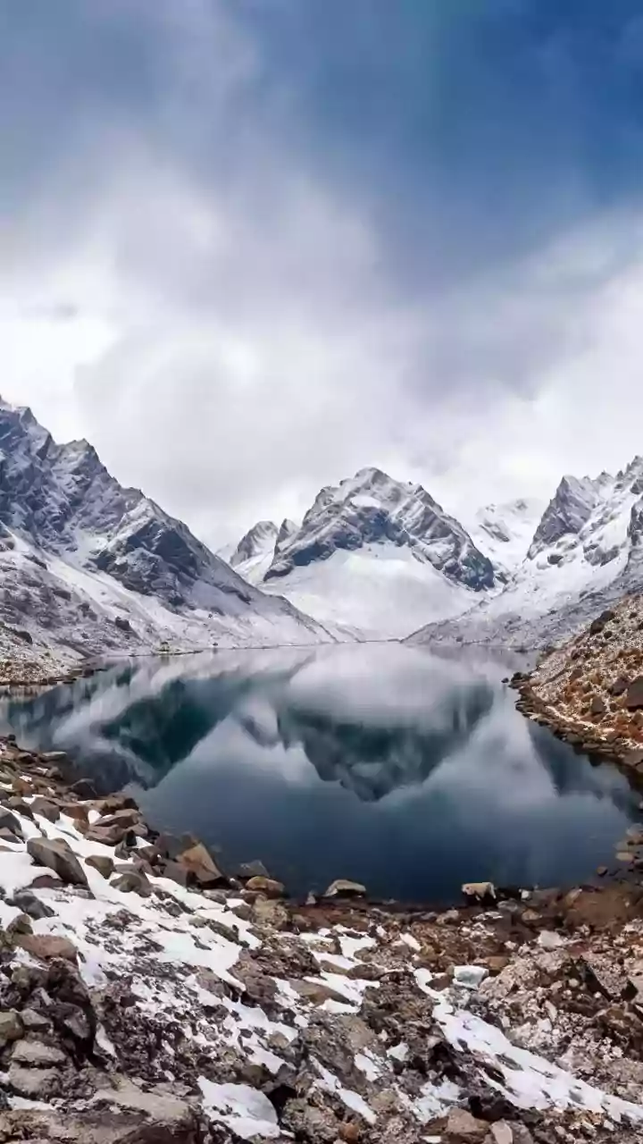
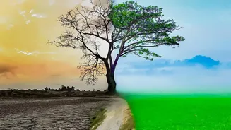
Climate change is intensifying Nepal's existing vulnerabilities. Ranked as one of the world's most vulnerable countries to climate impacts, Nepal is experiencing rising temperatures and more erratic and extreme weather patterns. This is leading to an increased frequency and intensity of disasters like floods and landslides. The Himalayan glaciers are melting at an alarming rate, increasing the risk of Glacial Lake Outburst Floods (GLOFs), where glacial lakes burst their banks and send devastating torrents of water, ice, and debris downstream. Unpredictable and heavy rainfall during the monsoon season is exacerbating soil erosion and landslide risks, particularly on fragile hillsides already destabilized by unplanned construction. These climatic shifts are not just creating new threats but are multiplying the dangers of an already hazardous environment, overwhelming traditional coping mechanisms.
Building Resilience from the Ground Up
Despite these immense challenges, significant efforts are being made to build resilience. Recognizing that a top-down approach is insufficient, there is a growing emphasis on community-based disaster risk reduction. These local-level initiatives empower communities to become active agents in their own safety. By integrating local and indigenous knowledge with modern science, communities are developing context-specific strategies. Programs led by organizations like the Nepal Red Cross and various NGOs train local disaster preparedness units, establish early warning systems, and create hazard maps. These groups also set up emergency funds and stock basic relief goods, making them less reliant on external aid in the immediate aftermath of a disaster. This grassroots approach, which focuses on local ownership and capacity building, is proving to be one of the most effective strategies for reducing risk in a country where geography makes centralized response so difficult.