






Beyond the Textbook Definition
At its core, the El Niño-Southern Oscillation (ENSO) is a natural climate pattern involving a significant warming of ocean surface waters in the central and eastern tropical Pacific Ocean. In a normal year, trade winds blow west across the Pacific, piling
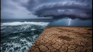
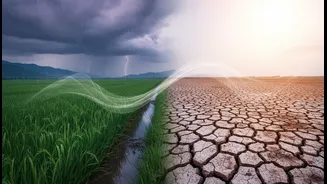
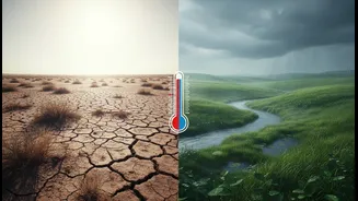
up warm water in Asia and Oceania, while cooler, nutrient-rich water rises to the surface off South America. During an El Niño event, these trade winds weaken. The warm water sloshes back eastwards, triggering a cascade of atmospheric changes. For India, this has traditionally been bad news. The altered weather patterns often disrupt the Indian monsoon, which is vital for the nation's agriculture-dependent economy, water resources, and the livelihood of millions. Historically, a majority of India's drought years have coincided with El Niño events.
Not All El Niños Are Alike
The major shift in scientific understanding is the realization that El Niño isn't a monolithic event. Researchers now know that these events have a wide range of amplitudes and spatial patterns. The key distinction lies in where the warmest waters congregate. A 'classic' or 'Eastern Pacific' El Niño features its most intense warming off the coast of South America. However, there is also a 'Central Pacific' El Niño (sometimes called El Niño Modoki), where the warming is concentrated further west in the central Pacific. Studies show this diversity is crucial. The location of the warming directly influences the chain reaction of weather effects, known as teleconnections, that ripple across the globe. An El Niño is not a single, predictable beast but a continuum of events, each with a unique signature.
The Indian Monsoon Connection
This newfound complexity directly complicates the link between El Niño and the Indian monsoon. The simple equation 'El Niño equals drought' is no longer a reliable guide. While strong Eastern Pacific El Niño events are still heavily associated with suppressed monsoon rainfall in India, the impact of Central Pacific events is less clear and more variable. Some studies suggest these events may have a weaker or different impact on the monsoon. For example, in 1997, a year with one of the worst reported El Niños, India received 2% higher than normal rainfall. This highlights that other climate drivers, like the Indian Ocean Dipole, can also play a powerful role, sometimes overriding or compounding El Niño's influence. Understanding which 'flavour' of El Niño is developing is now critical for anticipating its true impact on India's rainfall.
A Forecasting Conundrum
Greater understanding has, paradoxically, led to less certainty in long-range forecasting. If you don't know which type of El Niño is forming, predicting its precise consequences is incredibly difficult. Climate models have improved significantly, but they still struggle to consistently predict the specific spatial pattern and intensity of an El Niño months in advance. This is further complicated by global warming. Rising baseline ocean temperatures can make it harder to detect the unique signals of an emerging El Niño and may even be changing the frequency and nature of these events. Projections suggest that climate change could lead to an increase in the frequency of certain types of El Niño events, adding another layer of unpredictability that scientists are working hard to unravel.