






What is GRITSS?
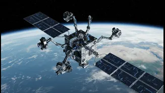
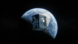
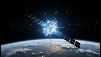
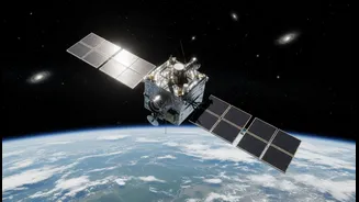
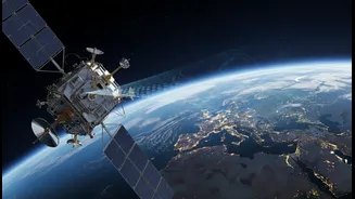
GRITSS stands for Geodetic Reference Instrument Transponder for Small Satellites. It is a NASA technology demonstration mission involving a CubeSat—a satellite roughly the size of a suitcase—that recently launched into low Earth orbit on July 7, 2026.
Developed in collaboration with the University of Massachusetts Lowell and the Dutch manufacturer ISISPACE, its primary goal isn't to take pictures, but to act as a universal translator in space. It's designed to help three completely independent ground-based observation networks—Global Navigation Satellite Systems (GNSS, like GPS), Very Long Baseline Interferometry (VLBI), and Satellite Laser Ranging (SLR)—speak the same language. By doing so, it promises to create a more accurate and unified global grid system, known as the International Terrestrial Reference Frame (ITRF).
The Millimeter-Level Problem
For decades, scientists have faced a fundamental challenge: combining data from GNSS, VLBI radio telescopes, and SLR lasers introduces tiny but significant errors, on the order of millimeters. These "site tie" errors occur because it's difficult to precisely measure the physical distance between these different instruments at their co-located ground stations. While a few millimeters might sound trivial, they create inaccuracies in the ITRF, the foundational grid for nearly all Earth observation. This frame is essential for tracking planet-scale changes, such as the movement of tectonic plates, the melting of ice sheets, and the subtle rise in global sea levels. To truly understand our changing climate and planet, scientists need a reference frame accurate down to a single millimeter, a goal set by the Earth Science Decadal Survey.
A Universal Reference Point in Space
GRITSS tackles this problem by moving the reference point from the ground into space. As it orbits Earth, the satellite can be observed by all three types of ground stations simultaneously. It carries a unique payload to make this possible. A specialized GPS receiver captures navigation signals and, using an ultra-stable internal clock, upconverts them into S-band and X-band frequencies that VLBI radio telescopes can detect. This creates a direct, space-based link between the GPS and VLBI networks. At the same time, the CubeSat is equipped with a laser retroreflector array, a sophisticated mirror that allows SLR ground stations to bounce lasers off it and measure the distance precisely. By serving as a single, common target in the sky, GRITSS effectively eliminates the ground survey errors that have limited the ITRF's accuracy.
Impact on Climate Science and Navigation
The headline's mention of climate measurements and everyday decisions points to the ultimate benefit of this enhanced precision. A more stable and accurate ITRF has profound implications. For climate scientists, it means greater confidence in measuring the millimeter-scale changes that define global warming's impact, from tracking freshwater resources and ice sheet volumes to understanding ocean cycles like El Niño. It provides a rock-solid baseline for next-generation topography missions that will map our planet's surface in unprecedented detail. For navigation and geospatial applications, a more accurate frame means more precise positioning for everything from autonomous vehicles and logistics management to future satellite constellations designed to monitor Earth's changing shape.
The Future of Integrated Geospatial Data
While GRITSS is a technology demonstration, it represents a significant step towards a future where different types of geospatial data are seamlessly integrated. Currently, platforms from organizations like NOAA and Esri work to combine satellite, weather, and climate data to support everything from emergency response to urban planning. However, the quality of these integrated products depends on the accuracy of the underlying reference frames. By refining the ITRF, GRITSS will enhance the reliability of all geospatial data that relies upon it. This mission is a foundational improvement, ensuring that as we collect more data about our world, the insights we derive—whether for agriculture, infrastructure management, or disaster risk assessment—are built on the most accurate and stable foundation possible.