




What is NISAR?
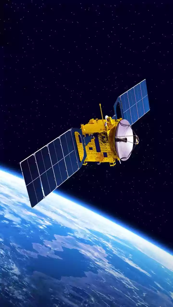
NISAR stands for NASA-ISRO Synthetic Aperture Radar. It is a sophisticated Earth-observing satellite, jointly developed by the two space agencies. Unlike a standard camera that captures images using light, NISAR uses radar to create incredibly detailed,
high-resolution images of Earth's surface, day or night, regardless of cloud cover. Its primary goal is to conduct a comprehensive check-up of our planet, making global measurements of the causes and consequences of land surface changes. The satellite is designed to be the most expensive Earth-imaging satellite ever built, with a total project cost estimated at around $1.5 billion.
A Partnership of Equals
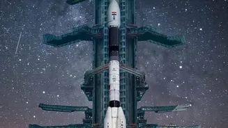
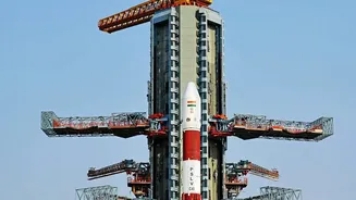
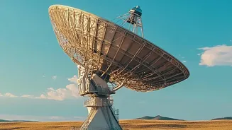
The NISAR mission is a true testament to the growing synergy between the United States and India in space exploration. The collaboration, first formalised in 2014, involves a significant division of labour, showcasing the unique strengths of both organisations. NASA is responsible for providing the L-band radar system, a high-rate communication subsystem for the science data, and a large 12-metre deployable mesh antenna. ISRO, on the other hand, provides the powerful GSLV launch vehicle, the spacecraft itself (known as the bus), and the S-band radar system. The integration of these components, developed continents apart, makes NISAR a marvel of engineering and international cooperation.
The Science of Two Frequencies
What makes NISAR exceptionally powerful is its use of two different radar frequencies: the L-band and the S-band. This dual-frequency capability is a first for a satellite mission of this kind. Think of it like having two different types of vision. The longer wavelength L-band radar can penetrate through foliage to see the ground surface, making it ideal for studying forests and vegetation. The S-band is better at observing finer details and crop structures. Together, they will provide a rich, multi-layered view of Earth, capturing changes in the planet's surface with a precision of less than a centimetre. The satellite will scan the entire globe every 12 days, generating a consistent and reliable stream of data over its planned mission life.
Why It Matters for India
For India, the benefits of the NISAR mission are immense and multi-faceted. The data will provide crucial insights for agricultural management by monitoring crop health and soil moisture across the country. This has the potential to transform farming practices and bolster food security. Furthermore, NISAR will be a critical tool for disaster management. By detecting subtle ground movements, it can help in assessing risks related to earthquakes, landslides, and subsidence, particularly in the geologically active Himalayan region. It will also enable better monitoring of India's forests, wetlands, and coastlines, providing invaluable information for managing natural resources and tracking the impacts of climate change.
A New Eye on a Changing Planet
Beyond its direct applications for India, NISAR will serve the global scientific community by providing free and open access to its data. This will revolutionise our understanding of some of the planet's most complex processes. Scientists will be able to track the melting of ice sheets in Antarctica and Greenland with unprecedented accuracy, helping to refine sea-level rise projections. The mission will monitor volcanic activity, the depletion of groundwater, and the health of ecosystems worldwide. By creating a time-lapse movie of our planet in motion, NISAR will not just be collecting data; it will be building a comprehensive and dynamic portrait of Earth's health for generations to come.