




Our Planet's Health Check from Orbit
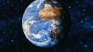
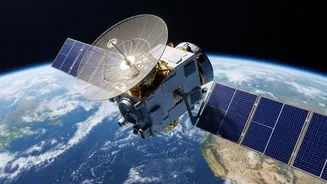
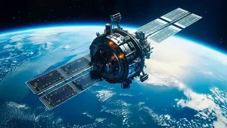
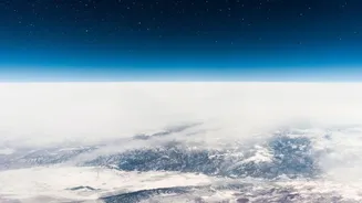
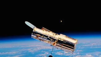
At its core, space-based monitoring uses satellites equipped with advanced sensors to gather information about Earth's surface. Think of them as sophisticated cameras in space, but they capture far more than a typical photograph. These sensors can be
passive, using reflected sunlight to create images, or active, sending their own radar signals to the ground and measuring the return signal. This allows them to see through clouds and even work at night. They collect data across different wavelengths of light, including visible and infrared, which can reveal a wealth of information—from the health of vegetation to the temperature of the land and sea. By placing these satellites in different orbits, such as polar orbits for global coverage or geostationary ones for continuous monitoring of a specific area, scientists get a comprehensive and constantly updated view of the entire planet.
Tracking the Footprint of Urban Growth
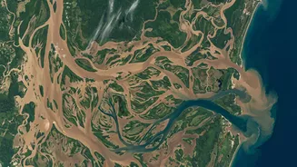
Cities across India and the world are expanding at an unprecedented rate. This urban sprawl often happens faster than manual surveys can track. Space-based monitoring provides a powerful solution. By comparing satellite images of the same location taken months or years apart, planners can precisely measure how and where cities are growing. This technique, known as change detection, reveals the conversion of agricultural land and wetlands into roads, buildings, and other infrastructure. This data is vital for urban local bodies to plan essential services like water supply and drainage, manage the increased risk of flooding from paved surfaces, and identify new construction for property tax rolls. For instance, long-term remote sensing studies have documented the dramatic expansion of cities like Bengaluru and Hyderabad, showing how their growth has impacted surrounding lakes and green belts.
An Unblinking Eye on Forests and Fires
Deforestation is a major contributor to climate change, but tracking it across vast, remote areas is a monumental challenge from the ground. Satellites provide a crucial advantage by monitoring forest cover globally. By analyzing long-term data from satellite programs like Landsat, scientists can identify where forests are being cleared for agriculture or urbanisation. These systems can detect not just large-scale clear-cutting but also more subtle forest degradation. Furthermore, this technology is indispensable for disaster management. ISRO, for example, uses its satellite data to monitor forest fires across India, providing vital information to help manage and contain these events. Newer alert systems can now detect vegetation loss from fires, logging, and even storms in near real-time, offering authorities an opportunity to respond more quickly.
Measuring the Meltdown of Glaciers
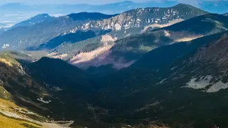
The retreat of glaciers, particularly in sensitive regions like the Himalayas, is a critical indicator of climate change. Satellites are our best tool for measuring these changes accurately and consistently. Using techniques like radar altimetry and photogrammetry, which creates 3D maps from overlapping images, scientists can track changes in glacier volume, snow accumulation, and melt runoff. This information is vital for India and its neighbours, as Himalayan snow and ice melt feeds major rivers that millions depend on for water. The upcoming NISAR mission, a joint project between ISRO and NASA, is expected to provide unprecedented detail on these changes, using advanced radar to penetrate ice and map shifts in the Earth's surface with incredible precision.
India's Eyes in the Sky
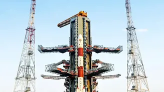
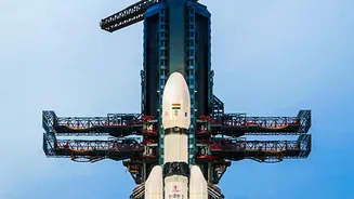
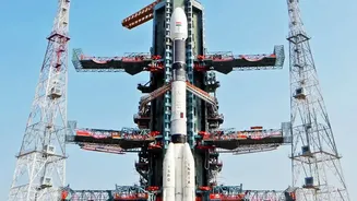
India has one of the world's most robust constellations of Earth observation satellites, managed by the Indian Space Research Organisation (ISRO). Starting with the Indian Remote Sensing (IRS) satellite series in 1988, ISRO has launched numerous satellites like the Cartosat, Resourcesat, and Oceansat series. This fleet provides a constant stream of data used for a vast range of national applications. These include forecasting agricultural output under the FASAL program, mapping groundwater prospects for drinking water missions, monitoring forest cover, managing water resources, and supporting disaster relief efforts during floods and cyclones. This data empowers government agencies at the national and state levels to make informed decisions for sustainable development and resource management.