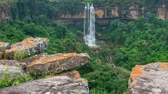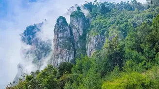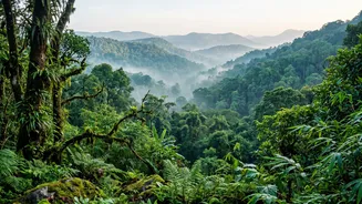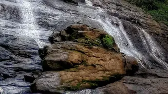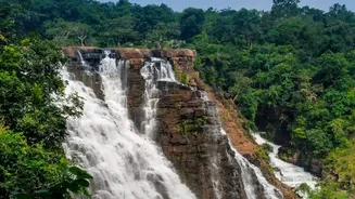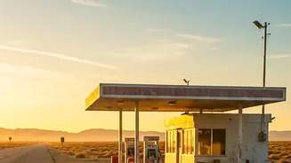




The magic of post-monsoon Karnataka is undeniable, with its lush green carpets and roaring waterfalls. But exploring these remote forest routes demands one crucial bit of planning: knowing exactly where your next fuel stop is. Here’s your guide.
The Post-Monsoon Rider's Dilemma
As the
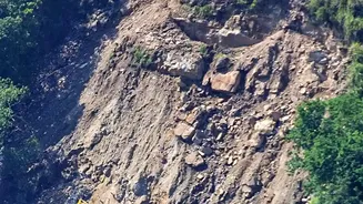
monsoon rains recede, the Western Ghats transform into a paradise for road-trippers. The air is clean, the landscapes are vibrant, and the call of the open road is strong. However, this beauty comes with a practical challenge. Post-monsoon road conditions can be unpredictable, with lingering damage from heavy rains potentially causing delays or diversions. Recent reports from late October 2026, for example, highlighted that the crucial Haveri-Sirsi highway, a key link between North Karnataka and the Malnad region, was still struggling with potholes and unfinished repairs. These issues can force riders to take longer alternative routes, which makes careful fuel management more critical than ever. In these remote stretches, petrol bunks are few and far between, and assuming you’ll find one around the next bend can be a trip-ending mistake.
Mapping Fuel Stops in the Malnad Region
The Malnad region, encompassing towns like Sringeri, Agumbe, Koppa, and Kalasa, is the heart of Karnataka’s monsoon magic. While beautiful, the roads here wind through dense forests where fuel access is sparse. Major towns such as Thirthahalli, Sringeri, and Hassan are reliable points to refuel. For instance, if you are planning a circuit from Bengaluru through Sakleshpur and Kalasa, it's wise to top up in Sakleshpur. The stretch from Sakleshpur to Kalasa via Kottigehara can be managed, but beyond that, towards remote spots like Kyatanamakki, you are on your own. Fuel stations, even for premium fuel, can surprisingly be found in smaller towns like Kalasa and Kottigehara, but it is unwise to depend on them being open or stocked. A good rule of thumb is to treat every major town as a mandatory fuel stop, even if your tank is half full.
Navigating the Notorious Bisle Ghat
Bisle Ghat is one of Karnataka's most stunning and isolated routes, connecting Sakleshpur with Kukke Subramanya. The approximately 50-kilometre stretch is famous for its viewpoint overlooking the Pushpagiri mountain range, but it is infamous for its complete lack of services. There are absolutely no fuel stations within the core ghat section. Your last chance to refuel when coming from Bengaluru is Sakleshpur. If approaching from the other side, ensure you have a full tank from Kukke Subramanya. The distance between fuel stations on either end of the Bisle route is significant, often exceeding 70-80 kilometres through winding, low-gear terrain where fuel consumption is higher. Given that mobile connectivity is also non-existent for long stretches, running out of fuel here is a serious problem. Always download offline maps and plan this leg of your journey with a full tank.
Northern Routes and General Fuel Strategy
Routes in Northern Karnataka, around Dandeli, Yellapur, and Belagavi, present similar challenges. Road damages, like those on the Haveri-Sirsi route, can affect travel times and fuel consumption significantly. When planning any long-distance ride in remote Karnataka, a conservative approach is best. For most motorcycles, a full tank of 15 litres should provide a safe range of over 300 kilometres, but this can drop by 20–30% on hilly terrain. If you know you are entering a stretch longer than 100–150 kilometres without a confirmed fuel station, carrying extra fuel is a wise precaution. Approved jerry cans or flexible fuel bladders are essential investments for the serious tourer. Always prioritise filling up at reliable petrol pumps in district headquarters or major towns, as smaller, rural pumps can be inconsistent.