




The Ghost of Water Bodies Past
Bengaluru was once famously known as the “City of Lakes,” an intricate, man-made network of over 1,400 water bodies and interconnecting channels, or 'rajakaluves'. This system, developed over centuries, was not for scenery; it was a sophisticated feat
of hydrological engineering designed to manage rainwater, prevent floods, and ensure water availability. However, decades of rapid, often unplanned, urbanisation have systematically erased this liquid legacy. Studies, including extensive work by researchers at the Indian Institute of Science (IISc), have documented a catastrophic decline. Between the early 1970s and today, the city has lost nearly 80% of its water bodies and 88% of its green cover. In their place, a concrete jungle has emerged, with a more than 1000% increase in paved, impermeable surfaces.
From Lakebeds to Living Rooms
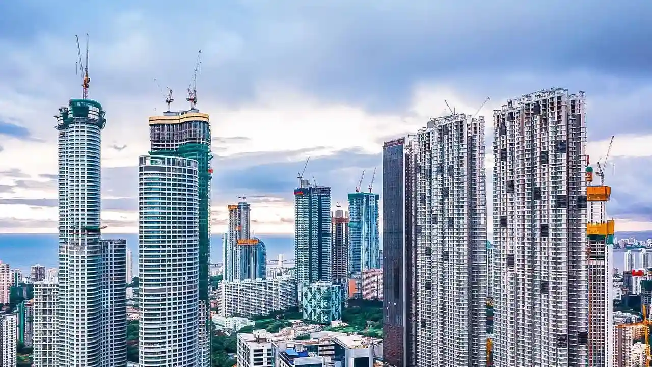
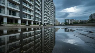
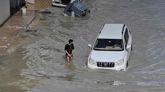
The latest housing research and flood risk mapping bring this historical data into sharp focus for today's residents and homebuyers. The correlation is stark: many of the areas most prone to severe waterlogging, such as Bellandur, Sarjapur, Mahadevapura, and the Outer Ring Road tech corridor, are built directly on former lakebeds, wetlands, and crucial floodplain areas. A 2011 commission report confirmed that parts of the Outer Ring Road itself, along with areas like Agara and Ibbalur, were constructed over historical lake areas. The natural, low-lying valleys that once channelled excess water smoothly from one lake to another are now home to apartment complexes and tech parks, their original drainage paths blocked or drastically narrowed. This encroachment on rajakaluves means that when intense rain falls, the water has nowhere to go, inevitably backing up and flooding the very properties built over its historical path.
Data as a Diligence Tool
For prospective homebuyers, this research is more than an academic exercise; it's a critical tool for due diligence. Online flood risk maps, which overlay government data on rajakaluves and historical flood zones, are becoming indispensable. These maps often reveal that new, booming residential areas in East and Northeast Bengaluru are being developed in zones with poor or non-existent drainage infrastructure. They highlight a crucial disconnect: while property listings boom, the underlying ecological history of the land is often ignored. The research empowers buyers to ask pointed questions that brokers might not answer: Is this property on a former lakebed? How far is it from a primary stormwater drain? What is the documented flood history of this specific locality? This shift moves the conversation from a generic assurance of safety to a data-backed risk assessment.
An Urgent Call for Smarter Planning
Beyond individual property decisions, the body of research presents an urgent call for a fundamental shift in urban planning. Experts argue that the current approach of concretising drains is counterproductive, as it increases the speed and volume of water flow, leading to disaster downstream. The studies champion a return to respecting the city's natural topography and hydrology. Recommendations include the restoration of interconnectivity between remaining lakes, the aggressive removal of encroachments on rajakaluves, and the preservation of valleys as green, no-development zones. The core message is that Bengaluru's floods are not merely a drainage problem, but a planning problem rooted in the decision to build against, rather than with, nature. Until the city's development model acknowledges its watery past, the cycle of monsoon flooding is destined to repeat, regardless of how many drains are desilted.