


A Tale of Six Sunken Temples
The story is an enduring one, passed down through generations of fishermen and recorded by intrigued European travellers since the 18th century. It speaks of a time when the iconic Shore Temple, a UNESCO World Heritage site, was not alone. According to the legend,
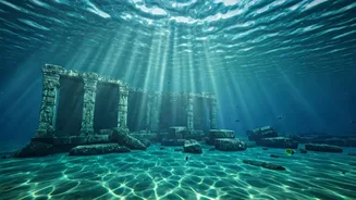
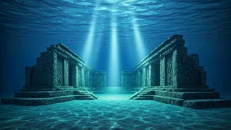
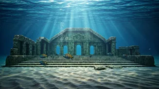
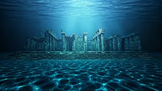
it was the last of seven magnificent granite temples that stood by the coast. The other six, so beautiful that they angered the gods, were supposedly consumed by a great flood or storm, lost forever to the Bay of Bengal. For centuries, it remained a tantalising piece of folklore, a myth that blurred the lines between history and the imagination. But occasional glimpses of strange formations on the seabed, reported by local fishing communities, kept the story alive, suggesting that something more tangible lay beneath the waves.
A Tsunami’s Unexpected Revelation
The line between myth and reality began to blur dramatically in December 2004. As the water receded just before the devastating tsunami struck, eyewitnesses reported seeing a long row of large, man-made-looking rocks emerge from the sea bed. When the waters violently churned and settled, they scoured away centuries of sand, uncovering previously hidden structures on the shore. This included granite sculptures of lions, a half-finished elephant, and remnants of what appeared to be ancient walls. These discoveries gave new weight to the old legends and prompted more systematic archaeological interest in the area. Early surveys following the tsunami confirmed the presence of submerged walls and other man-made features, lending credence to the idea that a significant portion of the ancient port city was indeed underwater.
The High-Tech Quest Begins
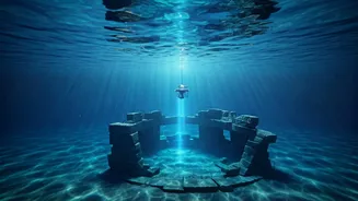
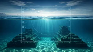
Building on these earlier findings, the Archaeological Survey of India (ASI) has recently launched a new, concerted effort to systematically map the submerged history of Mahabalipuram. After a gap of nearly two decades, the ASI's Underwater Archaeology Wing (UAW) is spearheading a mission to solve the riddle of the lost pagodas. This is not just a casual search; it's a scientific expedition to document whatever remains of the 7th-8th century Pallava dynasty's coastal capital. The mission's goal is to create a definitive map of the underwater heritage site, potentially rewriting our understanding of this famous port city's scale and history.
Robots Beneath the Waves
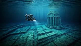
The new exploration is powered by cutting-edge technology that wasn't available during previous surveys. The team is now equipped with a state-of-the-art Remotely Operated Vehicle (ROV). This underwater drone allows archaeologists to capture high-resolution images and videos of the seabed without disturbing the fragile remains. The ROV can explore deeper and more challenging environments with greater safety and precision. This technology, combined with other tools like side-scan sonar which can map the seafloor's topography, will enable the team to identify anomalies and structures that could be part of the submerged city. The aim is to move beyond speculation and create a data-driven picture of what lies offshore.
More Than Just a Myth
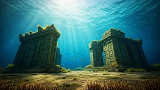
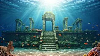
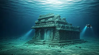
Past explorations have already yielded compelling clues. Surveys conducted by the ASI and the Indian Navy in the early 2000s, and in collaboration with the National Institute of Oceanography, found evidence of submerged walls, dressed stone blocks, and structures with clear right-angled cuts and joinery marks—all indicative of human construction. Some findings were in water as deep as 6 to 10 metres, suggesting a significant settlement. The structures were scattered, but their layout in relation to the still-standing Shore Temple hinted at a larger complex. The current mission aims to connect these scattered dots and determine if they form a cohesive, planned settlement or temple complex. The findings could confirm Mahabalipuram as a much larger and more ambitious project of the Pallava kings than what is visible on land today.