



The Geographic 'Rain Shadow' Advantage
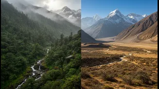
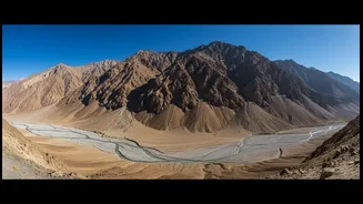
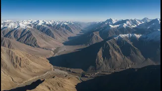
The secret to Ladakh and Spiti's pleasant monsoon weather lies in a simple geographical phenomenon: the rain shadow effect. The towering Greater Himalayan and Pir Panjal ranges act as a massive barrier, blocking the moisture-laden south-west monsoon clouds
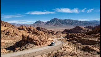
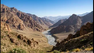
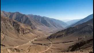
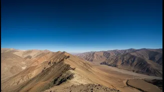
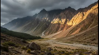
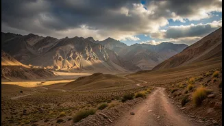
from crossing over. While regions like Uttarakhand, and lower Himachal Pradesh face heavy rainfall and subsequent landslides, these trans-Himalayan areas remain remarkably dry and sunny. This creates a high-altitude desert environment where annual rainfall is minimal, making July and August prime months for exploration, not avoidance.
Ladakh: Highways to a High-Altitude Paradise
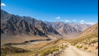
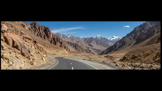
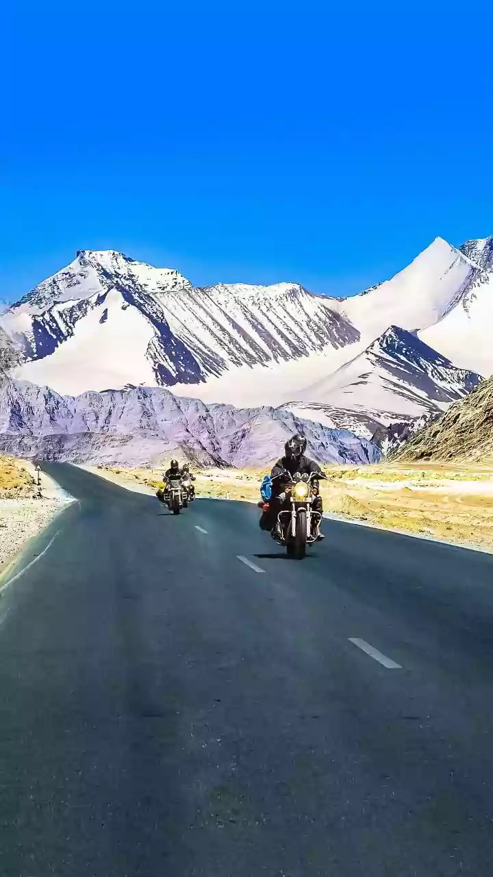
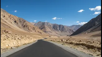
For those seeking the moonscapes of Ladakh, the monsoon season offers peak accessibility. The region is primarily reached via two major routes: the Srinagar-Leh Highway (NH1) and the Manali-Leh Highway. The Srinagar-Leh route, passing through Kargil, is generally considered the more reliable option during monsoon. Key passes like Zoji La are clear, and the operational Z-Morh tunnel near Sonamarg further improves connectivity by bypassing a traditionally difficult stretch. The Manali-Leh highway, while more adventurous with its high passes like Rohtang and Baralacha La, is also fully operational. Though you may encounter rain in the Kullu-Manali valley on your way up, once you cross into the Lahaul region and beyond, the weather clears, revealing the stark, stunning beauty Ladakh is famous for. Internal roads connecting Leh to Nubra Valley, Pangong Lake, and other attractions are generally clear and well-maintained during this time.
Spiti Valley: The Middle Land Awaits
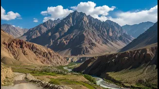
Spiti Valley, often called 'The Middle Land', is another beneficiary of the rain shadow. It can be accessed via two distinct routes. The most reliable during monsoon is the road from Shimla via the Kinnaur valley (NH5). This route allows for gradual acclimatization as it climbs steadily. However, travelers should be aware that the Kinnaur region itself receives monsoon rains, and stretches between Rampur and Pooh can be prone to landslides. The second route, from Manali via the Atal Tunnel and Kunzum Pass, is shorter but more challenging. This road involves crossing the rain-soaked Kullu valley and then a rough, water-crossing-heavy patch between Gramphu and Batal before you enter the dry Spiti region. Once inside Spiti Valley, roads to key monasteries like Key, Tabo, and the high-altitude villages of Komic and Hikkim are typically open and in good condition.
Planning and Necessary Precautions
While Spiti and Ladakh are safer monsoon bets, a trip here is not without its challenges. The keyword is 'approach'. The journey to enter these dry havens often requires passing through rain-affected areas. The India Meteorological Department (IMD) frequently issues alerts for regions like Uttarakhand and Himachal, and it's crucial to monitor these. The roads leading into the rain shadow, particularly the Manali-Kaza and parts of the Kinnaur road, can experience temporary closures due to landslides or swollen streams. Therefore, building buffer days into your itinerary is non-negotiable. Acute Mountain Sickness (AMS) is another serious risk due to the high altitude. The Shimla-Spiti route is better for gradual acclimatization than the steep Manali-Spiti or Manali-Leh routes. Always carry sufficient cash, as ATMs in these remote areas are unreliable, and pack layers to handle the significant drop in temperature at night.