






The Ocean's Normal Rhythm
To understand El Niño and La Niña, we first need to know what's normal. Typically, strong winds called trade winds blow from east to west across the tropical Pacific Ocean. These winds push warm surface water from near South America towards Asia. As the warm water moves
west, cooler water from the deep ocean rises to the surface along the South American coast in a process called upwelling. This creates a predictable pattern: a warm, rainy pool of water in the western Pacific (near Indonesia and Australia) and a cooler, drier zone in the eastern Pacific (near Peru). This balanced state is part of a cycle known as the El Niño-Southern Oscillation (ENSO), and this specific phase is called ENSO-neutral.
Enter El Niño: The Warm Guest
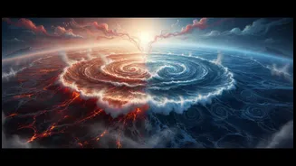
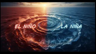
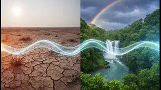
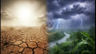
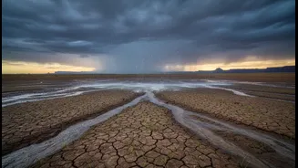
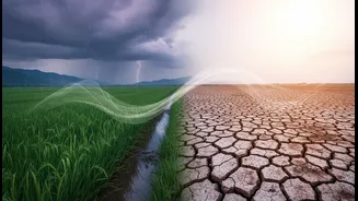
El Niño, which means 'the little boy' in Spanish, turns this normal rhythm on its head. During an El Niño event, the trade winds weaken or even reverse. Without the strong push, the warm surface water that normally piles up in the west sloshes back eastward, toward the coasts of South America. This causes the central and eastern Pacific Ocean to become unusually warm. This major shift in ocean temperature disrupts atmospheric patterns globally. The warm water releases more moisture into the air, changing where rain falls. Areas that are normally dry can experience floods, while regions that rely on consistent rain can face drought.
La Niña: The Cool Counterpart
La Niña, meaning 'the little girl,' is essentially the opposite of El Niño; it's an intensification of the normal pattern. During a La Niña event, the trade winds become even stronger than usual. This pushes more warm surface water toward Asia and allows even more cold water to well up along the coast of South America. This results in the central and eastern Pacific becoming cooler than average. Like El Niño, La Niña alters global weather, often producing opposite effects. It can lead to heavy rainfall and flooding in some areas (like Southeast Asia) while causing drought in others. These two phases, El Niño and La Niña, typically occur every two to seven years and can last for about a year or more.
What It Means for India's Monsoon
For India, this Pacific Ocean dance has huge consequences, primarily for the all-important southwest monsoon. El Niño is often bad news. The warming of the Pacific is generally linked to a weakening of the monsoon winds, leading to suppressed rainfall and a higher chance of drought across the subcontinent. Historically, many of India's significant drought years have coincided with El Niño events. Conversely, La Niña is usually beneficial for India's monsoon. The cooler Pacific tends to strengthen the monsoon circulation, often leading to above-average rainfall and even flooding in some parts of the country. However, the relationship isn't perfect; some El Niño years have seen average rainfall, and other factors like the Indian Ocean Dipole can also influence the monsoon's performance.
The Ripple Effect on Daily Life
The impact of a weak or strong monsoon goes far beyond just the weather. A poor monsoon, often tied to El Niño, can severely damage India's economy. It directly affects agricultural output, as a huge portion of Indian farming is rain-fed. This can lead to lower crop yields for staples like rice and cotton, reduce farmers' incomes, and slow down the rural economy. The knock-on effect can be an increase in food prices and overall inflation, which affects every household's budget. Recent analyses show that while India's economy has built more resilience with better irrigation and income diversification, a severe El Niño can still pose significant risks to economic growth and stability. Current forecasts for 2026 indicate a developing El Niño, which authorities are monitoring closely for its potential impact.