





Just How Strong Is This El Niño?
Meteorological agencies across the globe are in agreement: the El Niño event of 2026 is intensifying rapidly. Forecasts from August 2026 indicate a high probability of it becoming a "very strong" event by the end of the year, potentially competing with
some of the most powerful El Niños on record. El Niño is a natural climate pattern characterized by the unusual warming of surface waters in the central and eastern equatorial Pacific Ocean. This warming disrupts atmospheric circulation patterns worldwide, influencing weather far and wide. For India, this has historically meant trouble for the vital southwest monsoon.
The Classic El Niño-Monsoon Connection
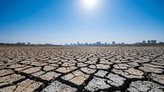
The traditional rule of thumb is that El Niño and the Indian monsoon have an inverse relationship. During an El Niño year, the altered weather patterns often lead to suppressed rainfall and drought-like conditions across the Indian subcontinent. This happens because the warming of the Pacific can weaken the Walker Circulation, a key atmospheric loop that helps drive the monsoon winds toward India. Out of 16 El Niño years since 1950, a significant number have resulted in below-normal rainfall. This connection is why early forecasts for the 2026 monsoon predicted below-average rainfall, raising concerns for agriculture, water reservoirs, and the broader economy.
Enter the IOD: India's Potential Saviour
This is where the story gets complex. The Pacific Ocean isn't the only major player influencing India's weather. The Indian Ocean has its own climate phenomenon called the Indian Ocean Dipole (IOD). The IOD measures the difference in sea surface temperature between the western and eastern parts of the Indian Ocean. A 'positive' IOD phase, with warmer waters in the Arabian Sea and cooler waters near Indonesia, can have a powerful, monsoon-boosting effect. It helps increase moisture over the Indian subcontinent, effectively counteracting the drying influence of an El Niño. A strong positive IOD can sometimes rescue the monsoon even in a strong El Niño year.
A Tale of Two Oceans in 2026
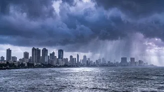
The 2026 season is shaping up to be a fascinating climatic tug-of-war. While a powerful El Niño is building in the Pacific, forecasts also indicate a positive IOD is expected to develop and strengthen from August through the end of the year. While some agencies like the IMD noted neutral IOD conditions prevailing in mid-August, they also acknowledged that international models predict a shift to positive conditions. This dual scenario explains the monsoon's paradoxical behaviour. While overall rainfall has been below normal for the country as a whole, the season has been marked by erratic bursts of intense rain in some regions, leading to floods and landslides even within a drier-than-average framework. It's a battle between the Pacific's drying power and the Indian Ocean's potential to deliver moisture.
What Does This Mean for India?
The key takeaway is that an El Niño forecast, even for a strong one, no longer guarantees a failed monsoon for India. The final outcome depends on which of these two climate drivers—El Niño or the IOD—exerts a stronger influence. The complexity means that rainfall distribution is likely to be highly uneven. Some regions may experience significant deficits while others could see normal or even excess rain in short, intense spells. This unpredictability poses a significant challenge for agriculture, requiring farmers to adapt to both dry spells and the risk of sudden floods. It complicates water management for reservoirs and impacts everything from power demand to public health planning.