



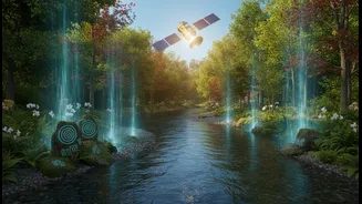



The View from Above
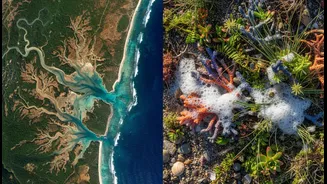
From their orbit hundreds of kilometres above Earth, satellites provide a perspective humans could never achieve on their own. They offer a large-scale, unbiased view of our planet, capturing vast amounts of data over time. Indian satellites from the IRS
and INSAT series, for instance, gather crucial information on land cover, vegetation health, soil conditions, and rainfall patterns. This technology allows scientists to track environmental shifts with incredible precision, from the shrinking of Himalayan glaciers to the pace of urban sprawl and its effect on city temperatures. Using tools like the Normalized Difference Vegetation Index (NDVI), remote sensing can measure the greenness and health of vegetation, helping to monitor deforestation or predict agricultural yields. This macro-level data is essential for building climate models and understanding the broad-strokes impact of a warming world.
The Wisdom from the Ground
While satellites see the big picture, they can miss the crucial details that only come from lived experience. This is where Traditional Ecological Knowledge (TEK)—a cumulative body of insights and practices passed down through generations—becomes invaluable. For centuries, indigenous communities, farmers, and pastoralists have built an intimate understanding of their local ecosystems. They can interpret subtle signs that satellites cannot detect, like changes in animal behaviour, the timing of plant flowering, or specific soil conditions ideal for certain crops. This knowledge is not just anecdotal; it represents a holistic dataset gathered over lifetimes of observation. For example, Inuit hunters in Canada use their deep knowledge of sea ice conditions to navigate and hunt safely in a rapidly changing Arctic, often proving more accurate for short-term prediction than modern meteorological data.
A Powerful Partnership in Practice
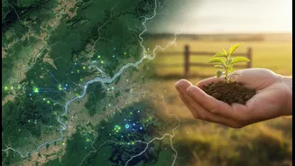
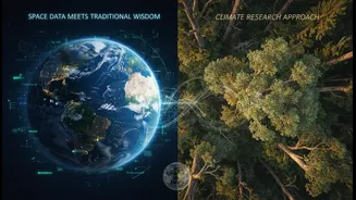
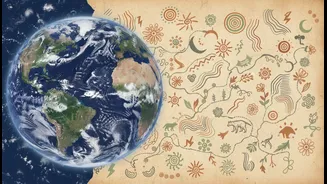
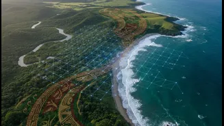
The true breakthrough in climate research happens when these two knowledge systems are combined. Local experience provides the “ground truth” that helps calibrate and refine satellite data, making it far more accurate and actionable. Consider rangeland management in the Altai Mountains of Central Asia. A study found a strong correlation between herders' perception of pasture quality and the NDVI values recorded by satellites, showing that local knowledge could be reliably used to interpret and map satellite data. In India, where monsoon variability is a major concern, farmers' observations about water flow and soil moisture can be integrated with satellite-derived rainfall estimates. This combined data creates a much richer, more reliable model for managing water resources and preparing for droughts or floods. This approach turns abstract data into a practical tool for communities on the front lines of climate change.
From Data to Action
This synergy does more than just improve data; it empowers communities. By integrating local observations, scientists can develop early warning systems for disasters like floods and wildfires that are tailored to a specific region’s needs. This collaboration respects and preserves invaluable traditional knowledge while also providing communities with accessible, scientifically-backed tools. For instance, when AI models are informed by both satellite imagery and indigenous knowledge, they can help locate new resources, like untapped fishing locations for an Inuit community in Nunavut whose environment was disrupted by climate change. The process becomes a two-way street: local experts help validate the technology, and the technology provides them with enhanced insights to adapt and build resilience. This partnership ensures that climate solutions are not just imposed from the top down but are co-created with the people they are meant to serve.