


The Two Faces of Indian Rain
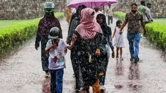
India's relationship with rain is complex and defined by two very different phenomena. The first is the large-scale monsoon, a vast, moving weather system that acts like a life-giving corridor of moisture for the entire subcontinent. This is stratiform
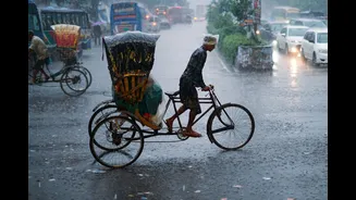
rain: widespread, relatively steady, and born from large air masses rising gradually. The second is the intense, localised downpour often associated with thunderstorms. This is convective rain: born from the rapid, vertical movement of air, it is powerful, short-lived, and can be highly unpredictable, causing flash floods in one area while leaving adjacent ones untouched. For decades, forecasting struggled to consistently differentiate between these two. A broad prediction for "heavy rain" could mean a gentle, day-long drizzle over a whole state or a catastrophic cloudburst over a single district. This ambiguity posed a massive challenge for everyone, from farmers deciding when to sow their crops to disaster management authorities preparing for urban flooding. The need for more granular, intelligent forecasting was clear.
The New Digital Forecasters
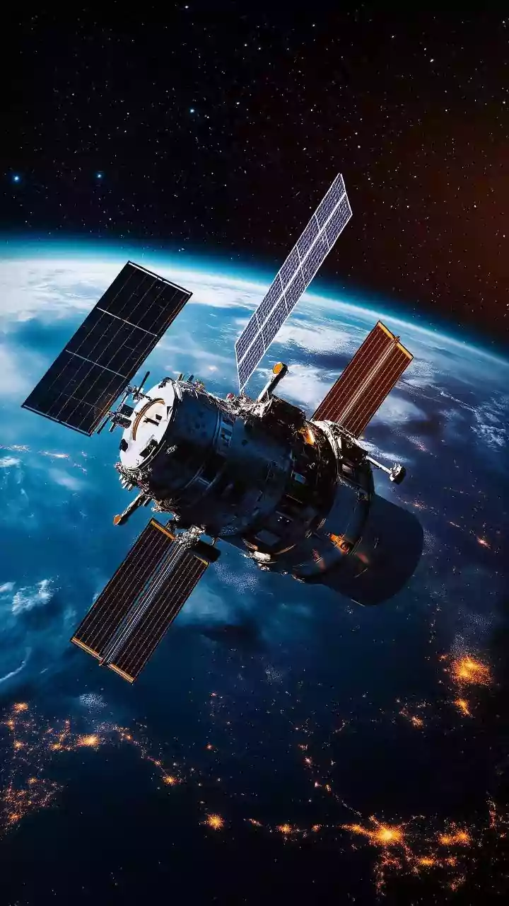
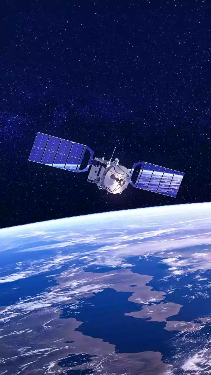
Enter a suite of advanced tools now being leveraged by the India Meteorological Department (IMD) to bring clarity to the chaos. The cornerstone of this technological upgrade is the expanding network of Doppler Weather Radars (DWR). Unlike older radars that could only detect the presence and intensity of precipitation, DWRs use the Doppler effect to also measure the movement of raindrops toward or away from the radar. This provides crucial information about wind patterns inside a storm, allowing meteorologists to understand its internal structure. India has significantly increased its DWR network, covering over 87% of the country and enabling a far more detailed view of weather systems as they develop. These radars are complemented by high-resolution satellite imagery and powerful numerical weather prediction (NWP) models that simulate atmospheric conditions. More recently, the IMD has begun integrating Artificial Intelligence (AI) to synthesise these vast datasets into hyper-local forecasts.
Separating the Signals
The key to separating local squalls from wider monsoon corridors lies in how these tools analyse the vertical profile of the atmosphere. Convective rainfall, typical of thunderstorms, is characterised by strong vertical updrafts that carry moisture high into the atmosphere, leading to intense but localised downpours. Doppler radars are exceptionally good at detecting this rapid vertical motion. Stratiform rain, part of a larger monsoon system, displays much weaker vertical motion over a much broader area. By combining radar data on cloud structure with satellite imagery tracking moisture and temperature, forecasters can build a three-dimensional picture of a weather event. Algorithms can then classify precipitation as either convective or stratiform. This allows the IMD to issue specific 'nowcasts'—highly localised warnings for the next few hours—that can distinguish between a passing thunder-shower and the sustained rainfall of an active monsoon corridor.
From Prediction to Protection
The real-world impact of this improved accuracy is profound. For urban areas, precise warnings about intense convective cells can provide the critical lead time needed to manage drainage systems and alert citizens to potential flash floods. For the agricultural sector, which remains the backbone of the Indian economy, the benefits are transformative. New AI-powered systems, piloted in states like Uttar Pradesh, are now providing rainfall forecasts at a 1-km resolution up to 10 days in advance. This level of detail helps farmers make informed decisions about when to plant, irrigate, and apply fertilisers, optimising resources and protecting their crops from unexpected weather. This shift from broad, regional forecasts to hyper-local, impact-based alerts enables more effective disaster preparedness, better water resource management, and ultimately, a more resilient nation in the face of increasingly unpredictable weather patterns.