







A Second Chance in Orbit
This launch carries the memory of a past setback. In August 2021, a mission to launch its predecessor, GISAT-1 (also known as EOS-03), ended in failure. The Geosynchronous Satellite Launch Vehicle (GSLV) rocket lifted off perfectly, but its crucial third
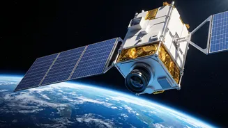
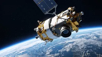
cryogenic upper stage failed to ignite due to a technical anomaly. The satellite, which promised to be India's first real-time eye in the sky, was lost. Five years later, ISRO is returning to this objective with GISAT-1A, also designated EOS-05. The upcoming launch aboard the GSLV-F17 is a testament to the agency’s resilience and its determination to secure a vital, high-altitude observation post for the nation.
The Power of a 'Fixed' Gaze
What makes a satellite like GISAT-1A so special is its orbit. Most Earth observation satellites circle the planet in a Low Earth Orbit (LEO), hundreds of kilometres up. They capture high-resolution images but can only view a specific location for a few minutes before moving on. GISAT-1A, however, will be placed in a geostationary orbit, nearly 36,000 kilometres above the Earth. At this altitude, its orbital speed matches the Earth's rotation, making it appear stationary over the Indian subcontinent. This unique positioning transforms it from a passing camera into a persistent, unblinking eye. Instead of fleeting glimpses, it can provide continuous monitoring, offering a constant stream of data on a region of interest.
A Game-Changer for National Security
The strategic implications of this persistent gaze are enormous. GISAT-1A will provide the capability to monitor India's borders and surrounding maritime areas with unprecedented frequency. This near real-time imaging can aid in tracking troop movements, monitoring infrastructure development in sensitive zones, and enhancing overall situational awareness for the armed forces. While officially a civilian satellite, its dual-use nature provides a significant boost to the nation's defence and intelligence-gathering framework. With the ability to image the entire Indian landmass every half-hour and a chosen area every five minutes, the satellite offers a powerful tool for safeguarding national interests.
Revolutionising Disaster Management
Beyond its strategic value, GISAT-1A is poised to become a cornerstone of India's civilian disaster management infrastructure. The satellite's ability to provide rapid, repeated imagery is invaluable for tracking the development and movement of natural disasters like cyclones, floods, and forest fires. For example, it can monitor cloudbursts and thunderstorm formations, giving authorities crucial lead time to issue warnings and evacuate vulnerable populations. Its multispectral cameras can also provide vital data for agriculture by monitoring crop health, for hydrology by observing water bodies, and for environmental science by tracking changes in forests and glaciers. This flow of information will enable faster, more effective, and data-driven responses to a wide range of natural calamities and environmental challenges.
The Technology Behind the Vision
The 2.2-tonne class GISAT-1A satellite is a state-of-the-art piece of technology. It is equipped with imaging payloads that can capture details across various spectrums, including visible, near-infrared, and thermal, with a resolution of around 42 meters at its sharpest. This allows it to see things that the human eye cannot, providing rich data for analysis. The satellite will be carried into orbit by the GSLV Mk II rocket, the same class of vehicle that faltered in 2021. The success of this launch will therefore also be a crucial validation of the GSLV's cryogenic engine technology, which is essential for placing heavy payloads into high orbits. This mission is not just about the satellite; it's about demonstrating mastery over the entire launch system required for India's ambitious space goals.