




A New Eye in a Cloudy Sky
For decades, weather forecasting has relied heavily on optical satellites. These are powerful, but have a critical weakness: they can't see through clouds. During a developing cyclone or intense monsoon depression, this is like trying to take a picture
in a dark, foggy room. The most crucial moments of a storm's formation are often obscured. This is where ISRO's strategic shift to radar-based observation becomes a true game-changer. By using satellites equipped with Synthetic Aperture Radar (SAR), forecasters can now pierce through the thickest cloud cover, day or night, to get a clear picture of what's happening below.
The Magic of Synthetic Aperture Radar
So, how does this technology work? Think of it like a bat using sonar. A SAR satellite doesn't passively take pictures with light; it actively sends down microwave pulses to the Earth's surface and meticulously records the echoes that bounce back. By processing these signals as it moves, the satellite simulates a much larger antenna, creating incredibly detailed, high-resolution images. This all-weather, 24/7 capability is the cornerstone of India's next-generation early warning system. It allows the India Meteorological Department (IMD) to monitor the structure, intensity, and movement of storms with unprecedented clarity.
NISAR: A Groundbreaking Collaboration
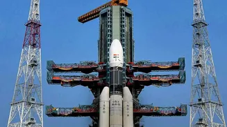
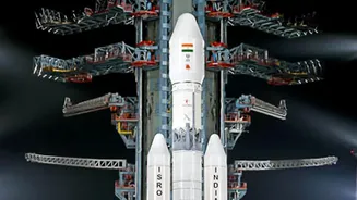
A flagship project enhancing this capability is the NASA-ISRO Synthetic Aperture Radar (NISAR) mission. Launched in mid-2025, this joint effort is the world's first dual-frequency radar imaging satellite, making it exceptionally powerful. NISAR orbits the Earth every 12 days, systematically mapping our planet's land and ice surfaces. Its ability to detect changes in the Earth's surface as small as a centimetre is revolutionary. While its applications are vast—from tracking landslides and glacier melt to monitoring agricultural soil moisture—its role in disaster management is paramount. For monsoon storms, NISAR provides critical data on wind speeds over the sea, the formation of low-pressure areas, and potential coastal impact zones.
From Hours to Real-Time Action
The practical benefit of these upgrades is time. More accurate and frequent data allows the IMD to issue warnings earlier and with greater confidence. Instead of broad regional alerts, agencies can move towards more specific, district-level advisories. This has a direct impact on the ground, giving disaster response teams more lead time to prepare and evacuate vulnerable populations. The data from missions like INSAT-3DS and NISAR feeds directly into weather prediction models, improving their accuracy for both short-term 'nowcasts' and long-term forecasts. Recently, in July 2026, ISRO began making processed data from the NISAR mission publicly available, allowing researchers and disaster management agencies to utilize it for a range of applications, including tracking floods.
Beyond the Monsoon: A Wider Impact
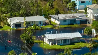
The power of SAR technology extends far beyond tracking cyclones. The same systems that monitor storm clouds can also map flood inundation with remarkable precision, even through continuous rainfall. This helps authorities understand the true extent of a flood and direct resources more effectively. The data is also used for monitoring landslides in the Himalayas, tracking soil moisture for agriculture to improve crop yields, and observing changes in coastal erosion. By creating a comprehensive, continuously updated picture of India's dynamic landscape, ISRO's satellite upgrades are building a foundation for greater national resilience against a wide range of natural hazards.