



Our Eyes in the Sky
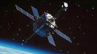
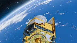
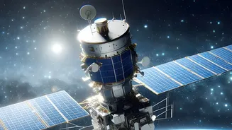
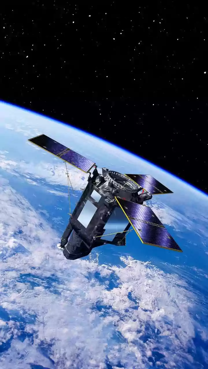
Earth-Observation (EO) satellites are sophisticated tools designed specifically to monitor our planet. Orbiting the globe, they are equipped with advanced sensors that collect a vast amount of data about the Earth's physical, chemical, and biological
systems. Unlike a standard camera, these sensors can 'see' beyond the visible spectrum of light, capturing information across different electromagnetic wavelengths. This allows scientists to gather detailed insights into everything from the health of a forest to the moisture in the soil. India has a robust EO program, with the Indian Space Research Organisation (ISRO) operating one of the world's largest constellations of civilian remote sensing satellites to manage the country's resources.
From Pixels to Patterns
The process of studying land use change begins with remote sensing—collecting data from a distance. Satellites use sensors to detect energy reflected from the Earth's surface. Different materials, like water, soil, concrete, and vegetation, reflect energy differently, creating unique 'spectral signatures'. By analysing these signatures, researchers can classify different types of land cover. For example, dense forests look very different from sprawling urban areas or agricultural fields in satellite imagery. When analysts compare images of the same location taken at different times—a technique called change detection—they can precisely identify and measure what has changed on the ground. A patch of green turning grey might signify new construction, while a dark green area becoming light brown could indicate deforestation.
Tracking Urban Sprawl
One of the most significant applications of this technology in India is tracking the rapid expansion of cities. With India projected to add hundreds of millions of new urban residents in the coming decades, cities like Bengaluru and Hyderabad are growing at a pace that traditional ground surveys struggle to map. Satellite imagery provides a near real-time view of this growth, allowing planners to see where new housing colonies are emerging, where farmland is being converted, and where unplanned construction is taking place. This data is crucial for urban local bodies to plan for essential services like water supply, drainage, and roads, ensuring that infrastructure development keeps up with population growth.
Guarding Forests and Ecosystems
Satellites are indispensable tools for environmental conservation. They provide a cost-effective way to monitor vast and often inaccessible forested areas for signs of illegal logging, encroachment, or the impact of forest fires. By comparing images over time, authorities can detect changes in forest cover and assess the health of ecosystems. The upcoming NASA-ISRO Synthetic Aperture Radar (NISAR) mission, which launched in 2025, will enhance this capability significantly. Its advanced radar instruments can see through clouds and map changes in forest biomass and wetlands with unprecedented detail, offering critical data for climate change research and disaster management.
A Revolution in Agriculture
The agricultural sector is also being transformed by satellite technology. For farmers, this data can provide valuable information on crop health, growth stages, and soil moisture levels. This helps in optimising irrigation, applying fertilisers more efficiently, and detecting pest or disease outbreaks early. On a national level, ISRO uses satellite data for large-scale applications like crop production forecasting, drought assessment, and supporting government schemes such as the Pradhan Mantri Fasal Bima Yojana for crop insurance. This flow of information helps create a more resilient and productive agricultural economy.