

A New Blueprint for Lunar Water
For decades, scientists have theorised that the Moon's poles could hold frozen water. Unlike the sun-scorched lunar equator, the poles feature deep craters where the sun never shines. These areas, known as Permanently Shadowed Regions (PSRs), are some
of the coldest places in the solar system, acting as cosmic deep freezers. While earlier missions, including India's own Chandrayaan-1, found evidence of hydrogen and water molecules, the latest data provides a much clearer picture. New maps, created by combining data from instruments like NASA's Lunar Reconnaissance Orbiter (LRO) and other spectrometers, have detailed the location and, crucially, the accessibility of this ice. This is not a solid sheet of ice, but rather ice crystals mixed in with the lunar soil, or regolith.
Peering into the Coldest Shadows
Detecting something in a place that never sees sunlight is a monumental technological challenge. Scientists use sophisticated instruments called spectrometers to achieve this. Orbiters like the LRO use tools such as the Lyman-Alpha Mapping Project (LAMP) spectrograph, which can 'see' in the dark by measuring the faint ultraviolet light reflected from stars and the distant cosmos off the crater floors. The way this light bounces back reveals the composition of the surface. Water ice has a distinct signature compared to dry regolith. Data from these advanced instruments, some of which are designed to detect hydrogen by observing how particles called neutrons behave in the lunar soil, has been synthesized to create these unprecedented maps of potential water reserves.
Why This Water is 'Accessible'
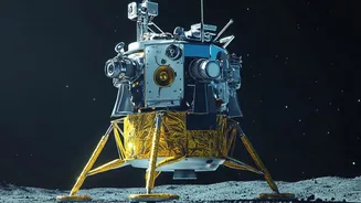
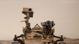
The term 'accessible' is key to the excitement surrounding this discovery. It doesn't mean future astronauts can simply walk over with a bucket. Instead, it suggests the ice is not buried miles deep but is potentially mixed within the top layers of the regolith or exists in concentrations that could be feasibly extracted by robotic missions. Knowing exactly where these deposits are, thanks to the new maps, allows space agencies to plan future landings with precision. Missions like NASA's now-cancelled VIPER rover were designed specifically to prospect for these resources on the ground. The new maps will guide the next generation of rovers and landers to the most promising locations, turning theory into a tangible resource hunt.
Fuelling the Future of Space Exploration
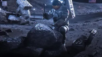
The confirmation of accessible water is a game-changer because of something called in-situ resource utilization (ISRU) — essentially, living off the land. Launching materials from Earth is incredibly expensive. If astronauts can source water directly from the Moon, it can be used for drinking and growing plants. More importantly, water (H₂O) can be split into hydrogen and oxygen through electrolysis. This provides breathable air for habitats and, critically, the two primary components of rocket propellant. A lunar base with access to water could become a refuelling station for deeper space missions, such as a journey to Mars, dramatically reducing the cost and complexity of interplanetary travel.
India's Pole Position
This global development has a special resonance for India. ISRO's Chandrayaan-3 made history in 2023 by becoming the first mission to soft-land in the lunar south pole region, a feat that established India as a major player in the new lunar race. The Chandrayaan program has been instrumental in the hunt for lunar water, with Chandrayaan-1's instruments providing some of the earliest definitive proof back in 2008 and 2009. More recently, analysis of data from the Chandrayaan-2 orbiter's radar has suggested the presence of significant subsurface ice. These new maps validate the strategic choice made by ISRO to focus on the south pole. As India plans future missions, including a collaboration with Japan called LUPEX, this growing knowledge base on water ice will be invaluable, positioning the nation at the forefront of lunar science and resource exploration.